thickets & ridges | howard-mastiff traverse
13 miles . 5400 ft gain . 7063 ft high
Wenatchee National Forest
On a mission to hike and scramble all the routes out of Peggy’s Washington Scramble book and somehow we landed squarely on the Howard-Mastiff Traverse. I’d brushed it aside for years, thinking it would be dry and desolate but I was so wrong!
I’ll be rather brief in my trip report here. Many day trips are undocumented on my blog, but those that I feel are out of the ordinary or lack information publicly, I feel like I could help with the repository.
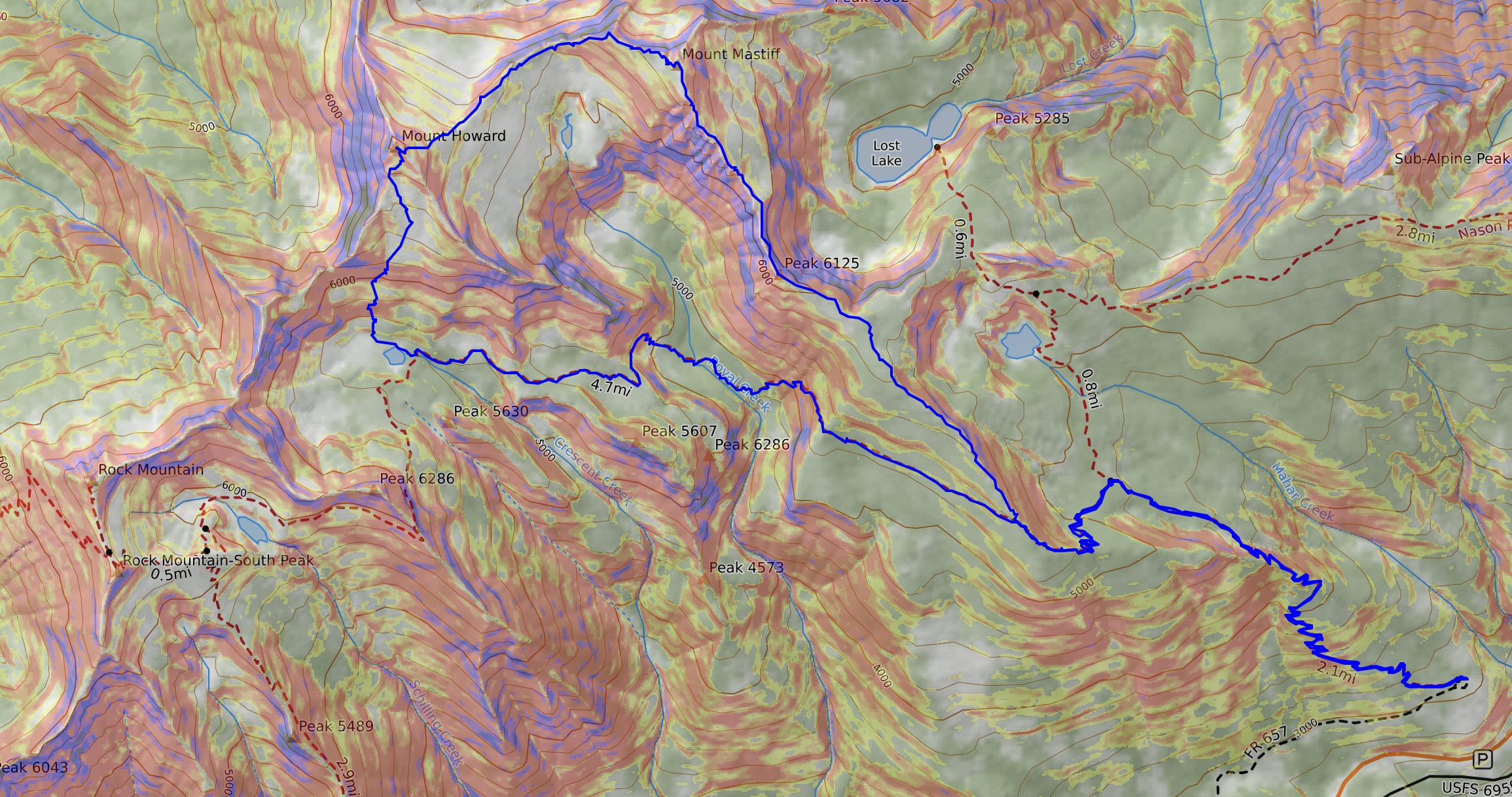
We decided to complete this lollipop loop counterclockwise (see map at end of blog). There was no rhyme or reason why, other than the fact it seemed like other people traveled in this direction. Upon completing the loop, I think that it was a great decision. Overall the harder scrambling is closer to Mount Mastiff though the more difficult route finding through bushes was near Crescent Lake by Mount Howard. We chose not to bag 3 peaks and did not include Rock Mountain. Some of us had previously climbed it already. While I had skied Rock Mountain before, I was intrigued to see it in the summer, but not enough to lengthen our already long day.
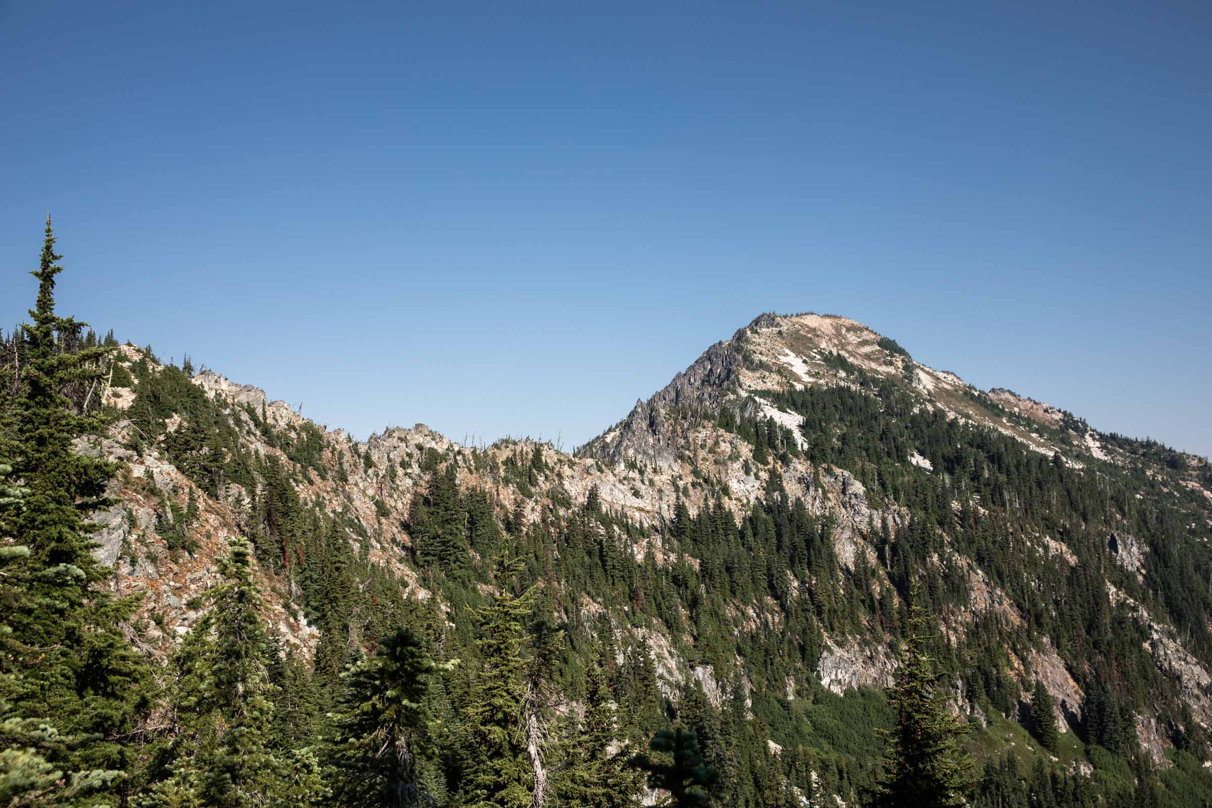
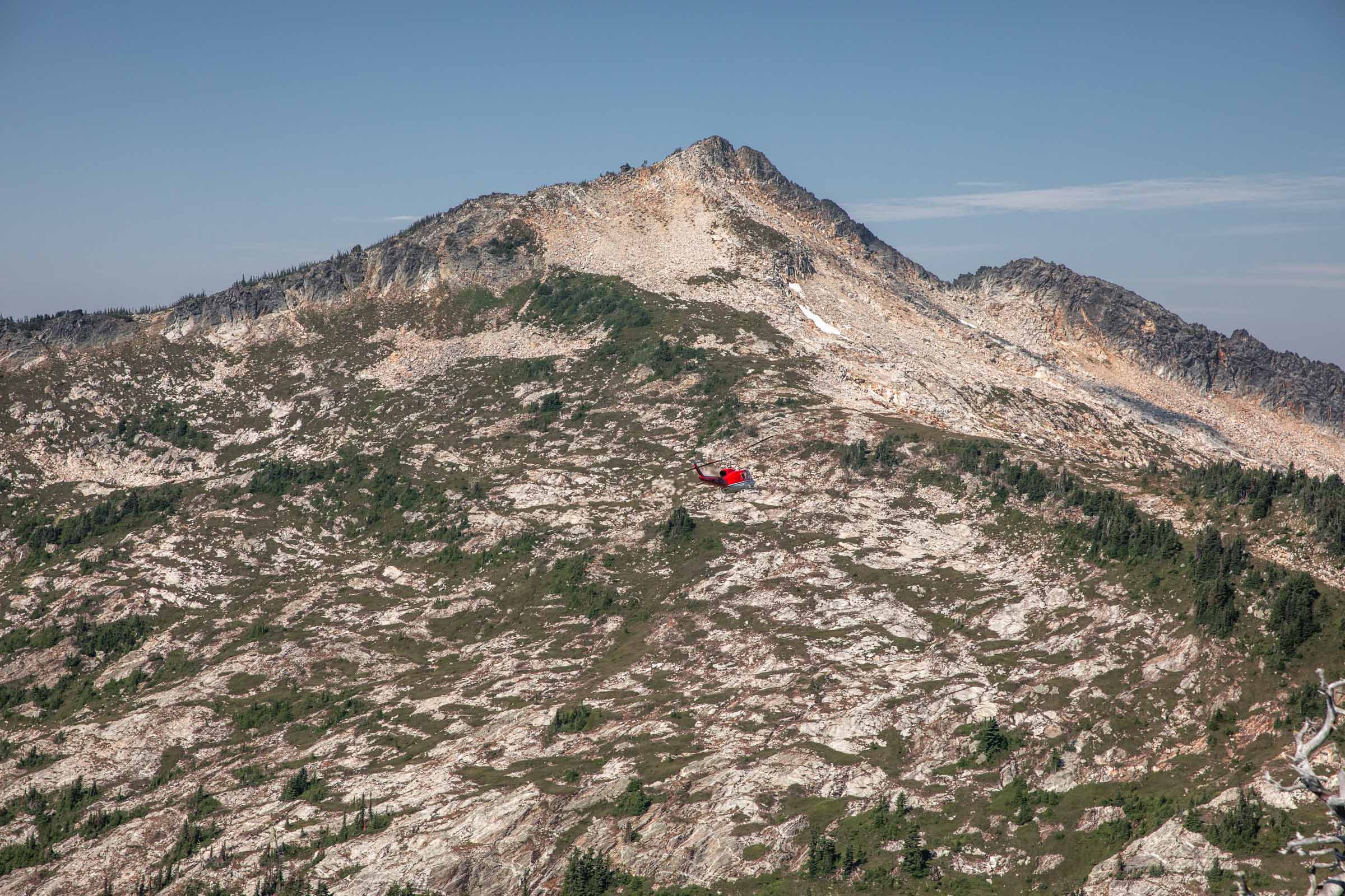
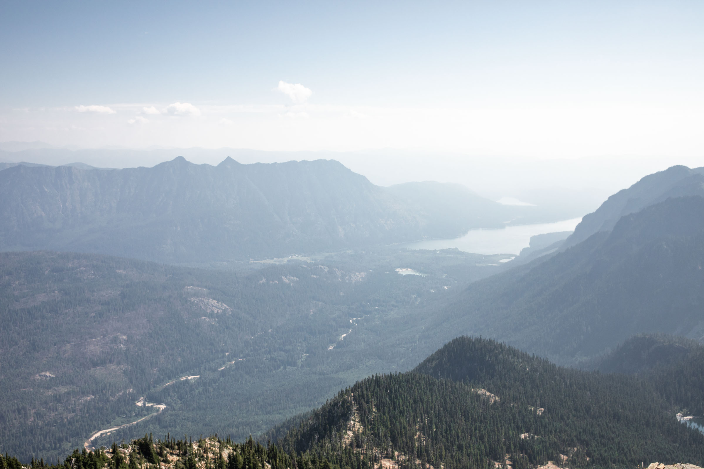
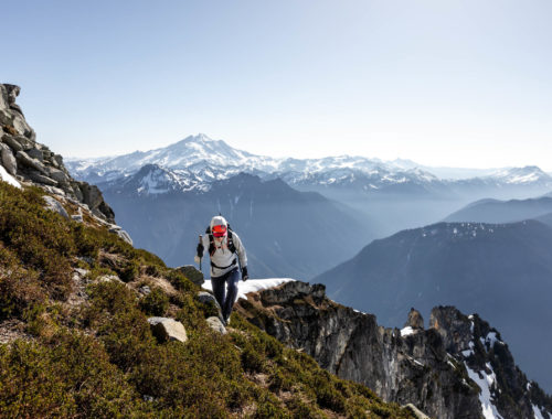
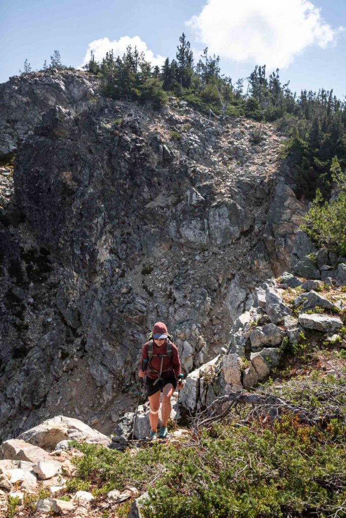
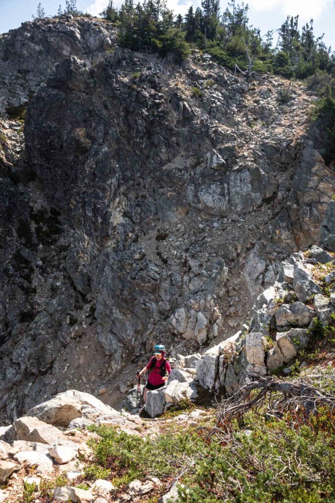
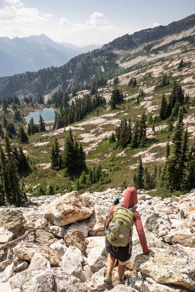
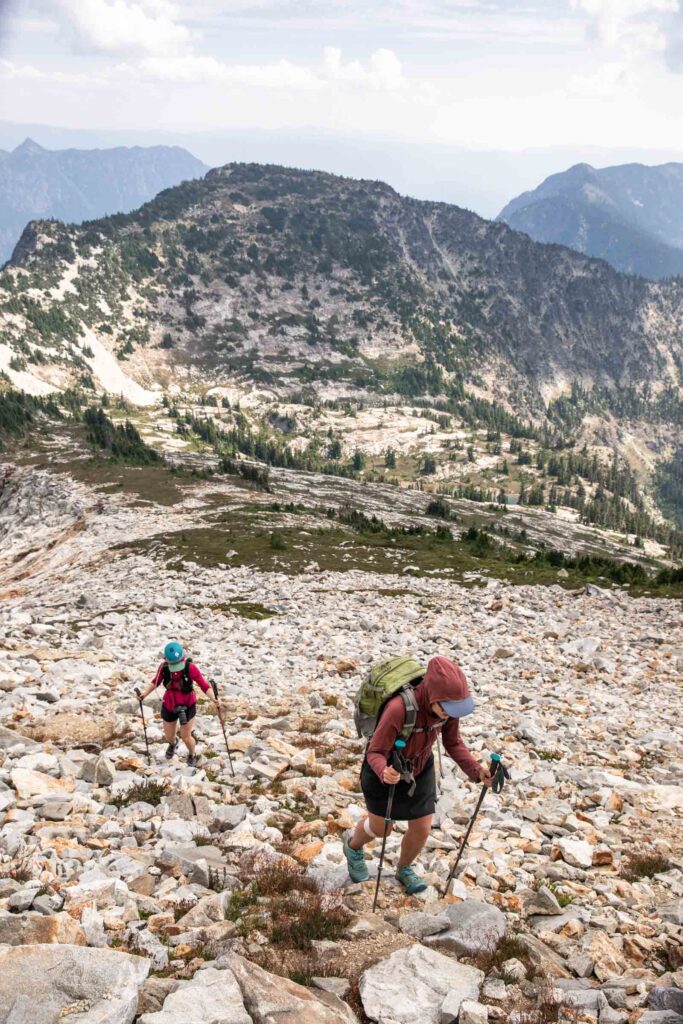
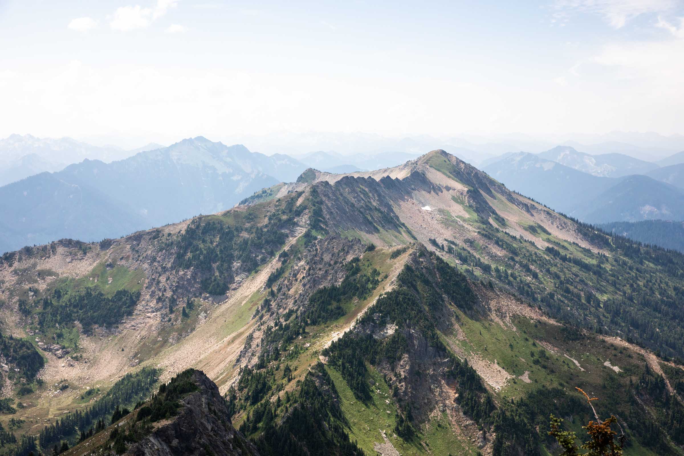
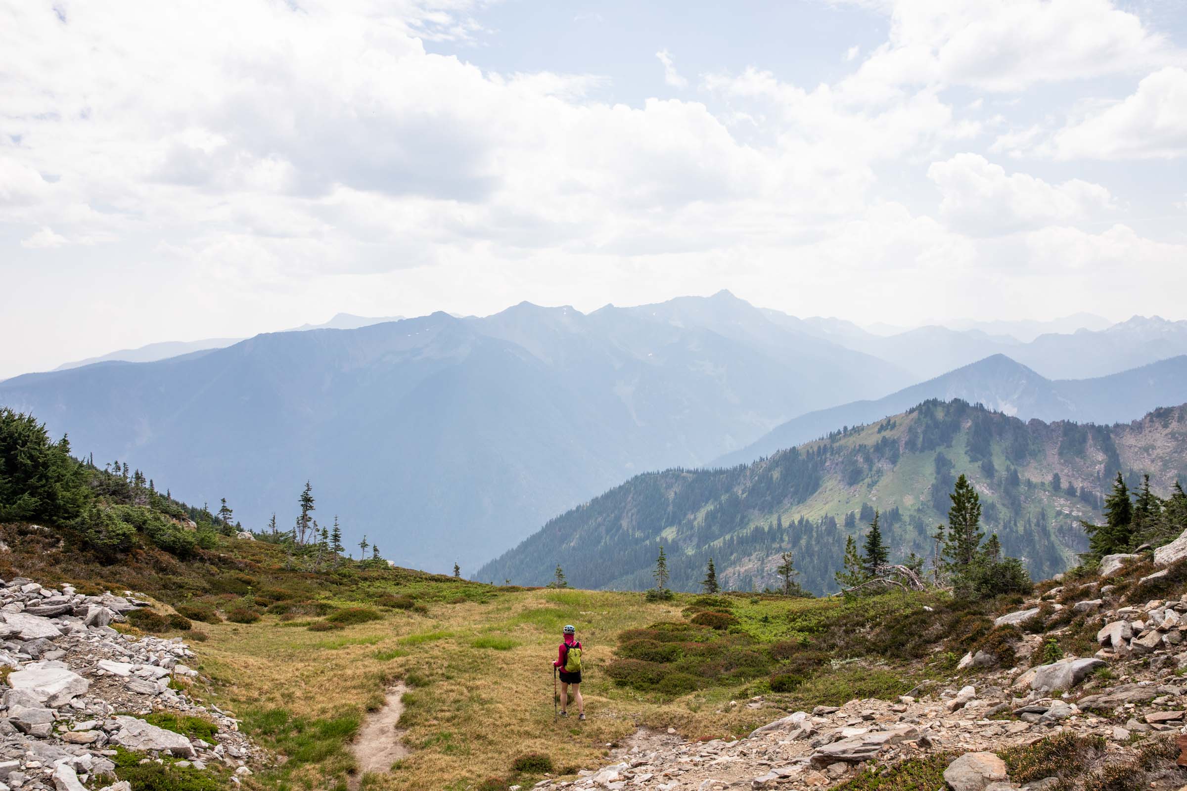
The trail was breezy for us going at a nice steady pace. Recently there was some trail maintenance done and we could clearly tell the difference. Once we turned a left at the fork, away from Lake Merritt, we started to embrace the thick bushes. The trail is still well defined, you just have to turn your trail brain on! We quickly made a right turn to head up the ridge to Mount Mastiff, following the undulations and carefully navigating around some cliffs. Nothing felt more than a single class 3 move at a time, honestly fairly class 2 if you are good at navigating and following the faint trail. Try to stay close to the ridge, dropping to the right (east) only if cliffs appear. The summit of Mount Mastiff was not terribly remarkable, although it was awesome to be able to see Lake Wenatchee. Plus there was a helicopter doing a few rounds in the basin adjacent to us. Weird!
After a quick lunch break, we pushed onwards. We descended Mount Mastiff as close to the ridge, again as much as possible. We tried avoiding the trees and maximized rocky terrain for less bushwhacking. There were great views of Canan Lake to give you motivation! At the saddle between the two peaks, we started to pick our way uphill again. The lower angled terrain made it seem easy to travel on. There were a couple light spots to navigate through trees and cliffs, but all very manageable. The last 200 feet or so felt a bit more like scrambling on boulders and talus. Helmets are good here! There are faint paths you can follow or you can choose whichever way, though probably the least steep method. It naturally pushed us a bit south of the summit where we gained there ridge a short couple minutes to true summit of Mount Howard.
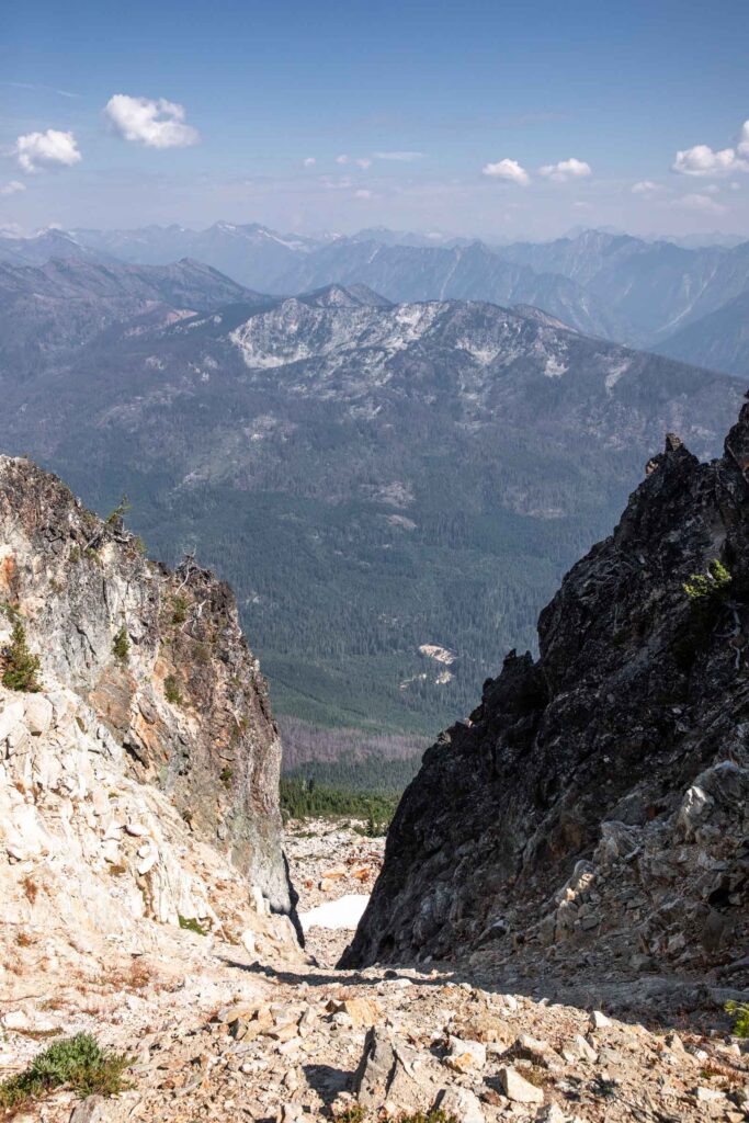
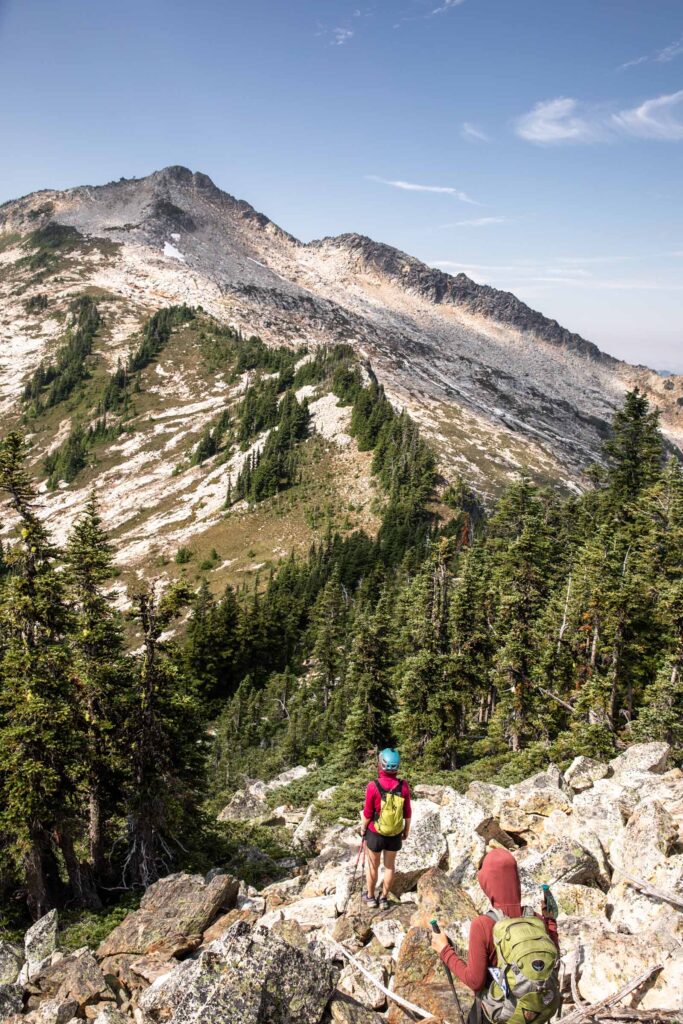
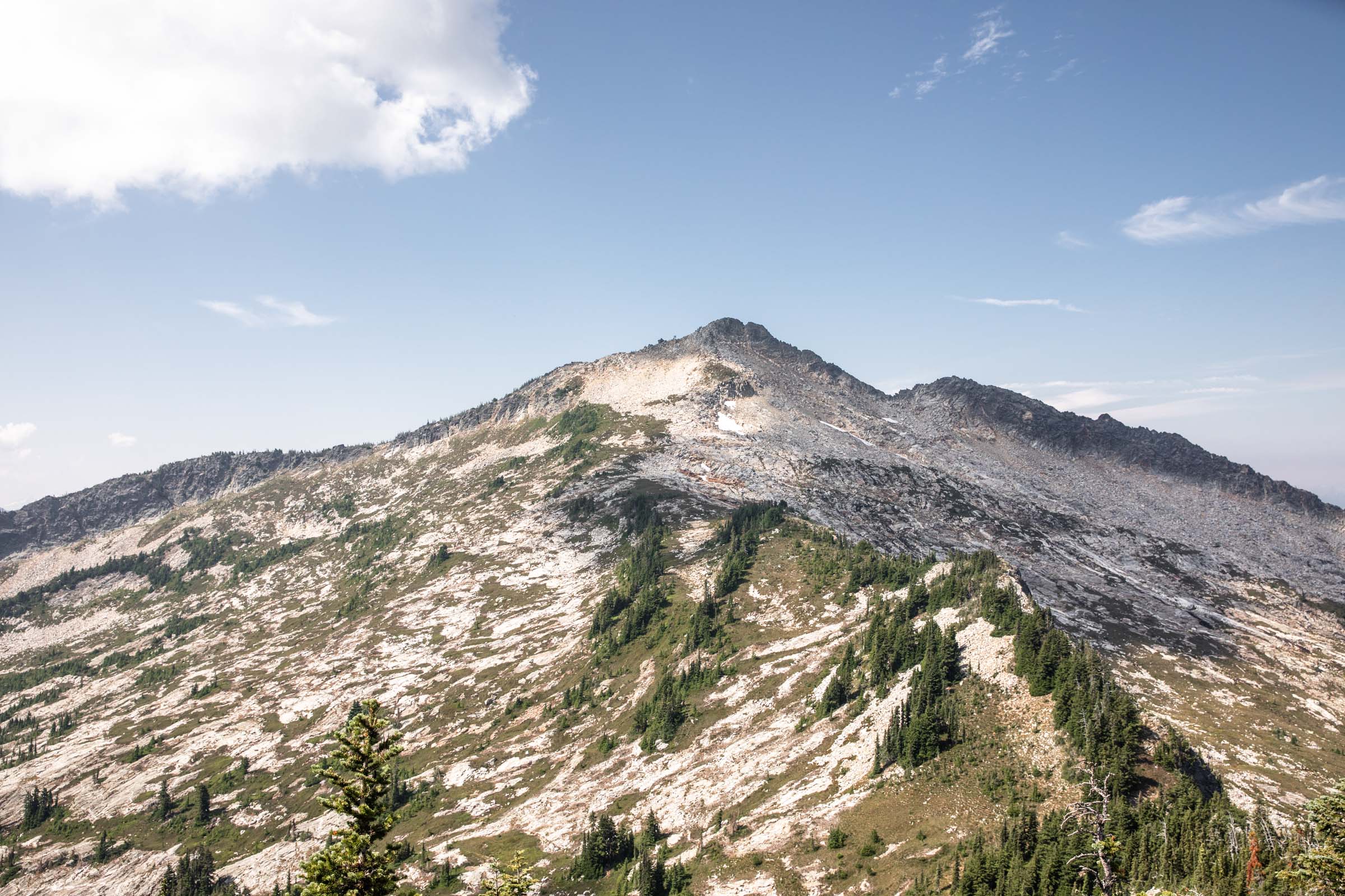
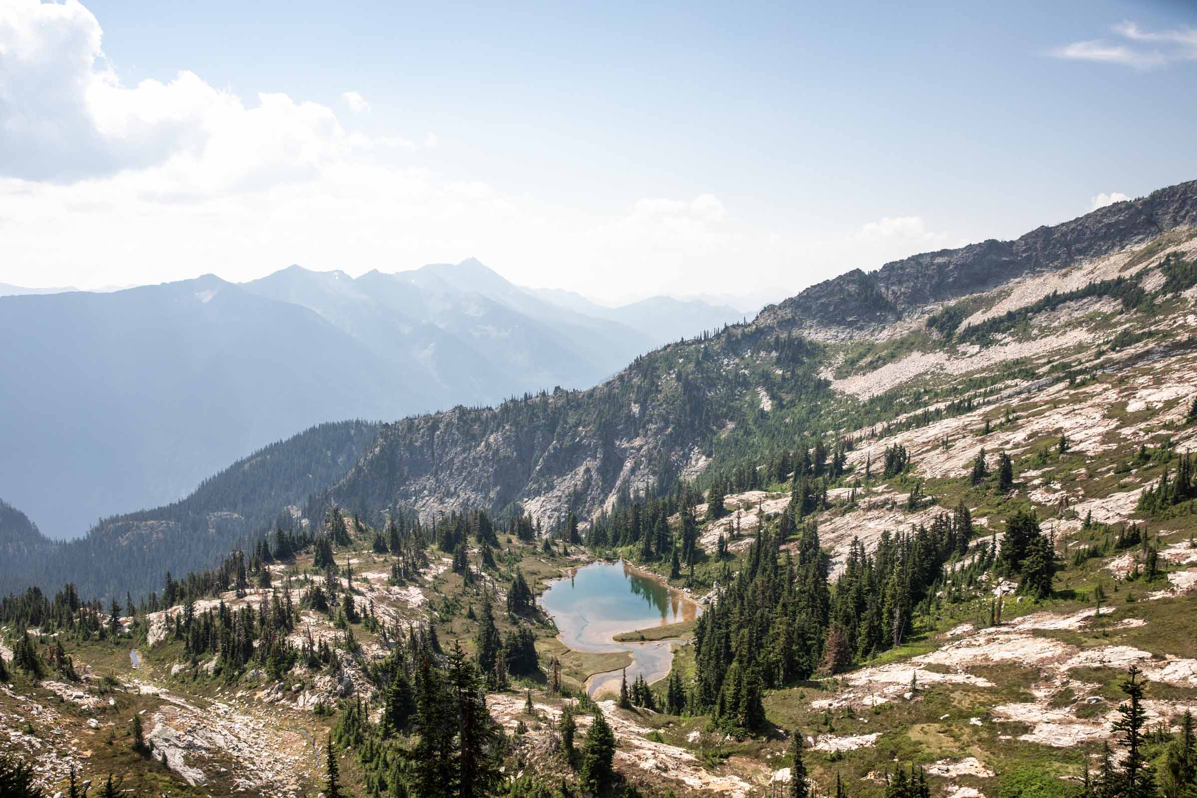
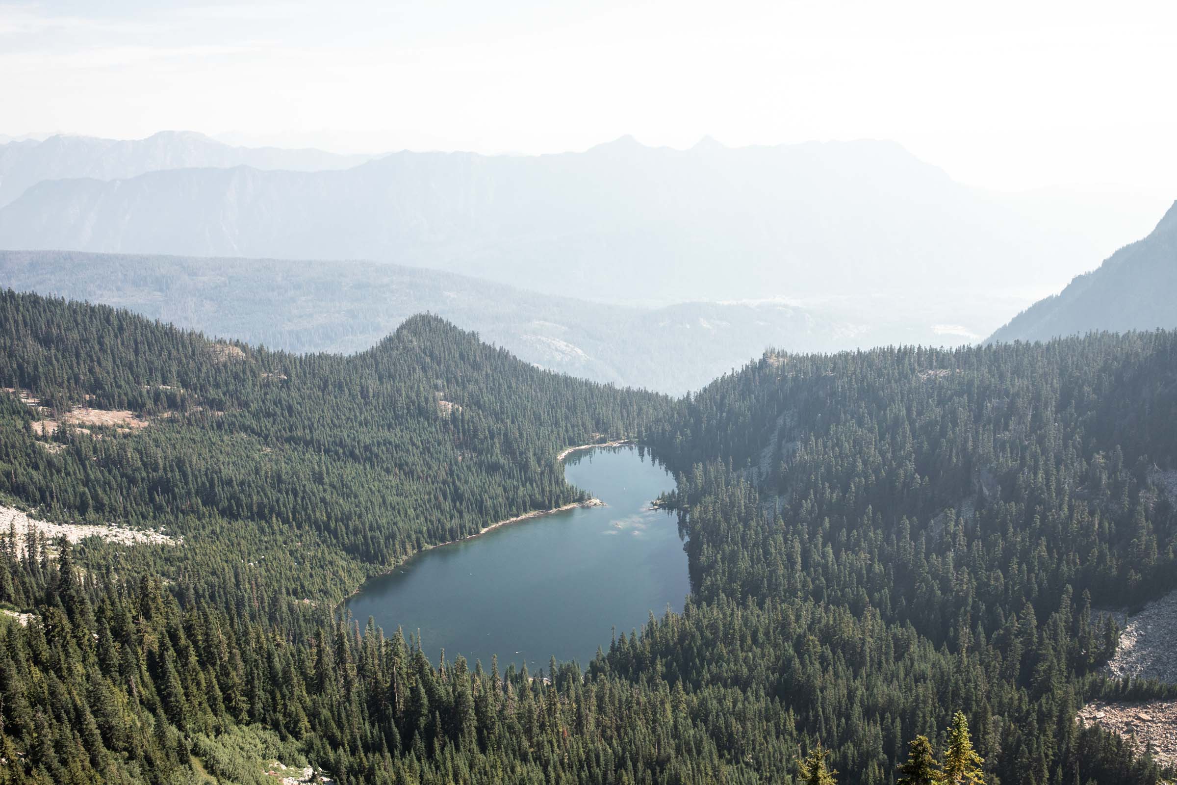
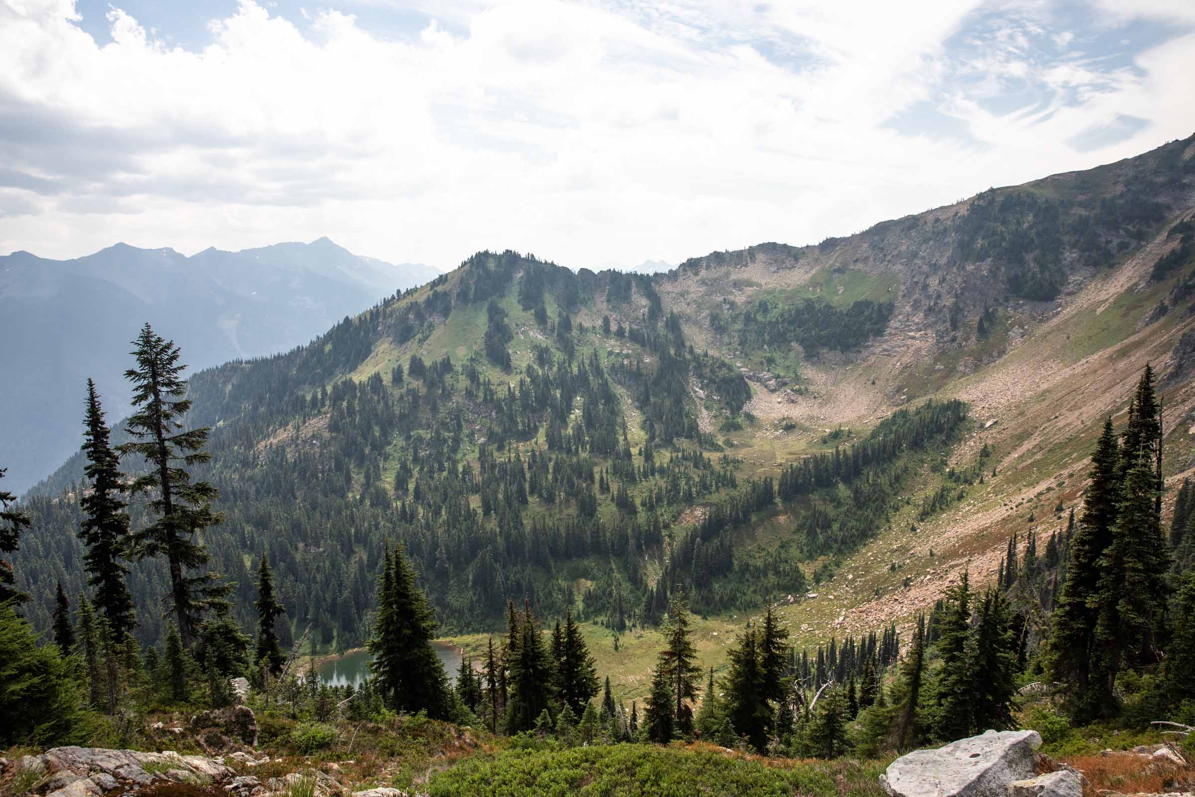
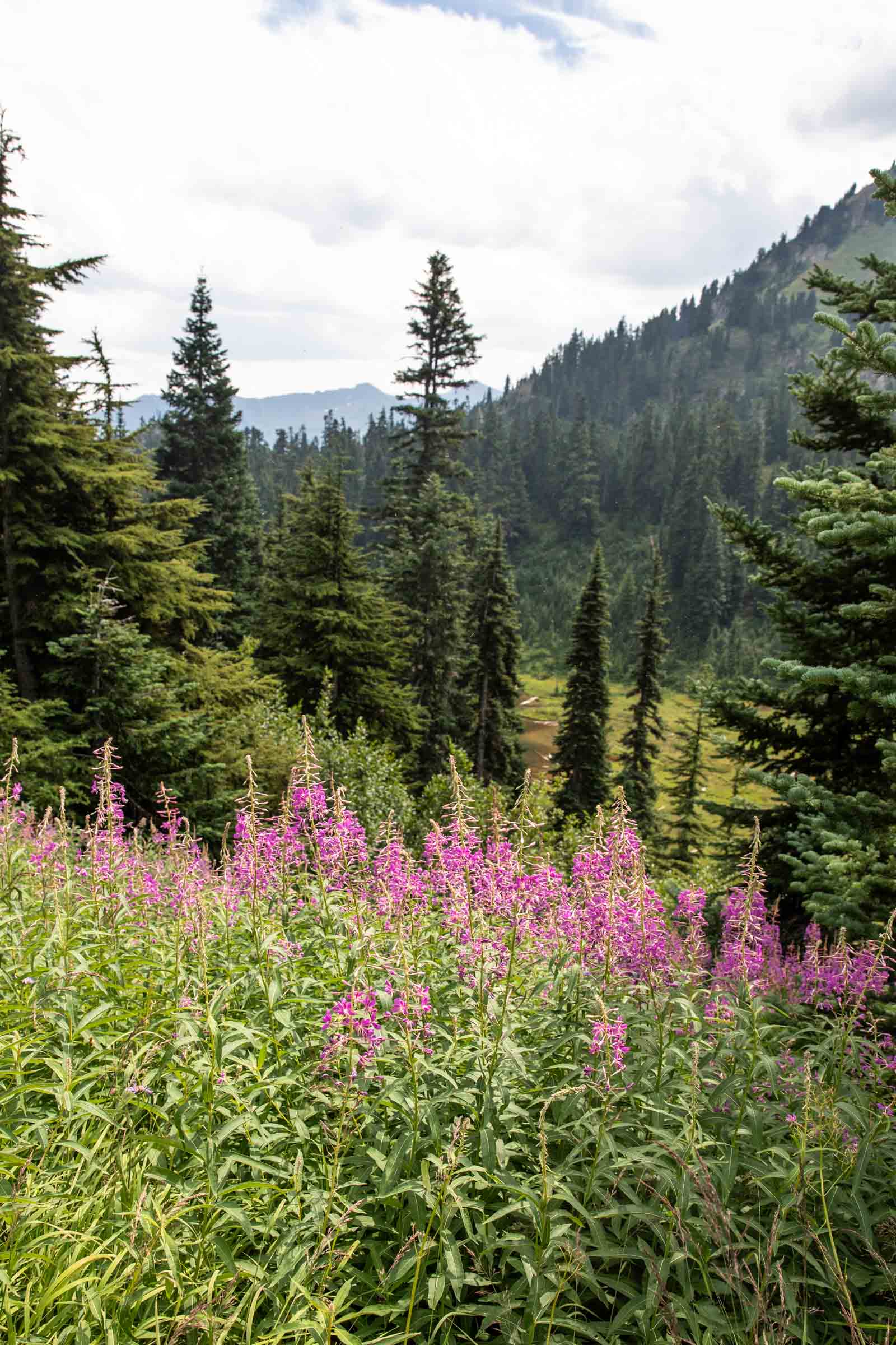
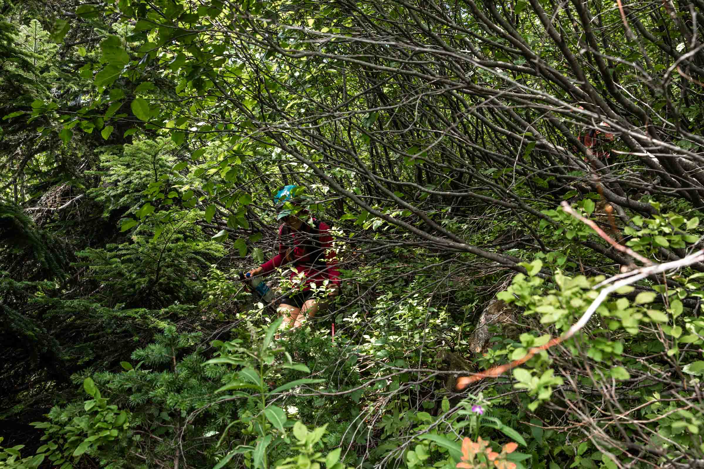
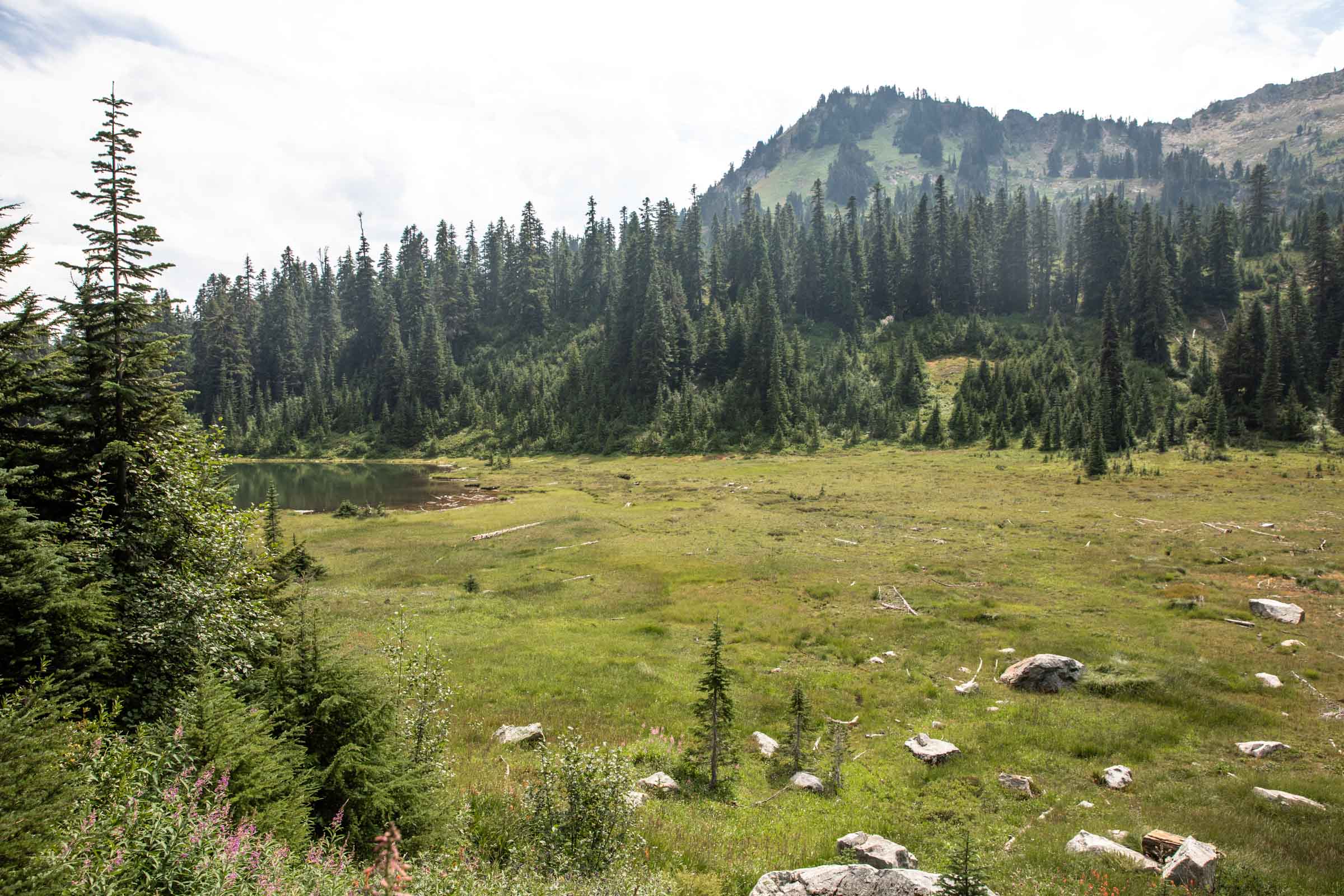
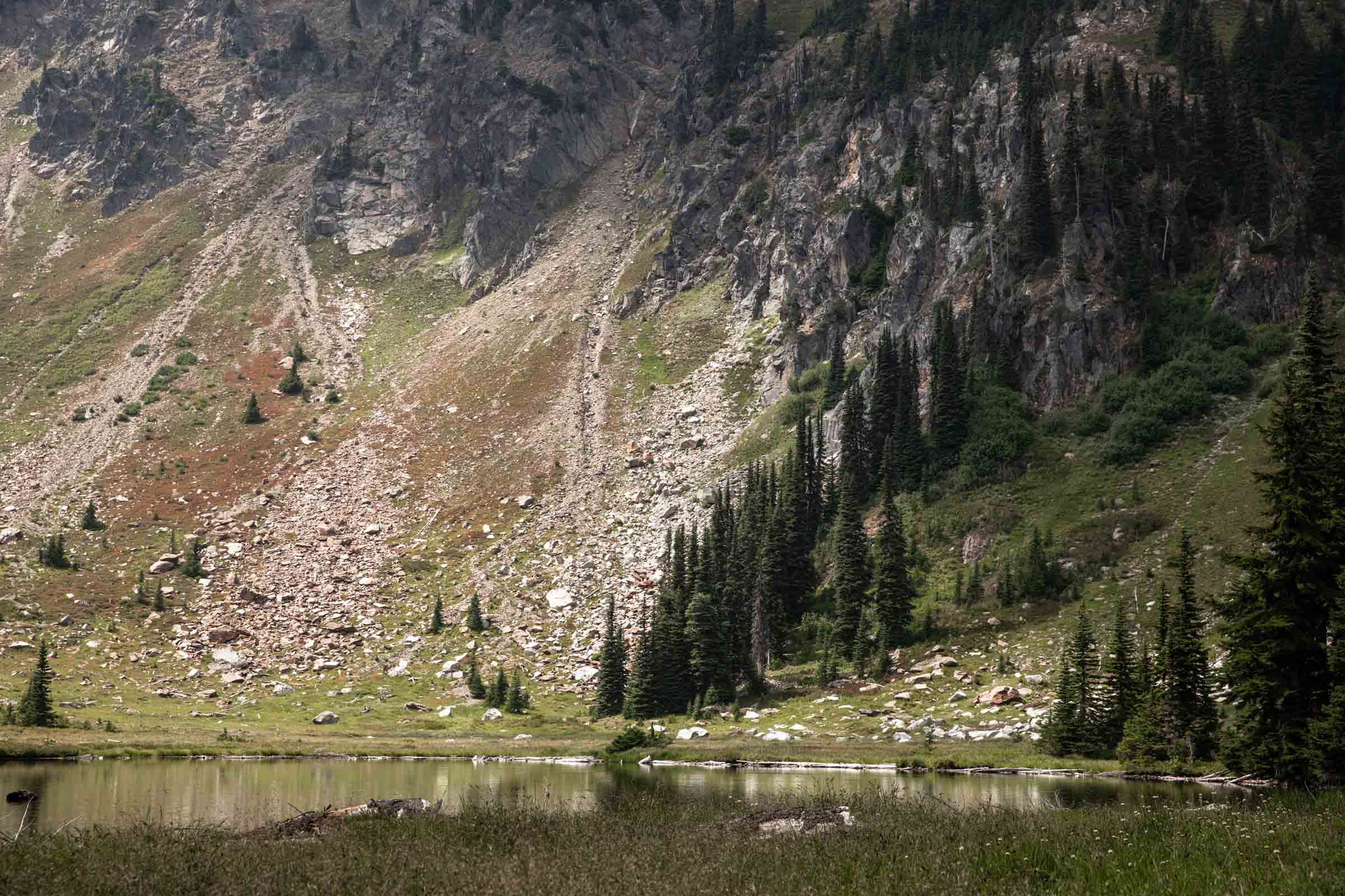
Descending Mount Howard was much more difficult than I had anticipated, likely due to a lack of research on my part. So good for you if you’re reading this far!! The gist of it is to aim downhill toward crescent lake. There’s 2 mandatory steep sections. For about 800 ft, it should be mellow open meadows that are fun to walk down after you pass the initial boulder field. Then it gets a little tricky following which gully. We picked one furthest west and what felt like blindly tumbling down the mountain, we made it down section by section. Following old tracks only took us so far – I highly recommend challenging your instincts, see if a path works, if not, don’t go down too far before you can’t get back up and around again. The last 100 ft of descent to Crescent Lake felt like mandatory bushwhacking. At least a majority was through super soft and gentle fireweed bushes and then a tunnel of alder branches that was manageable. It was entirely laughable!
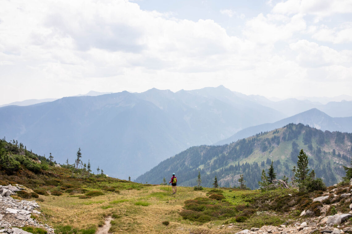
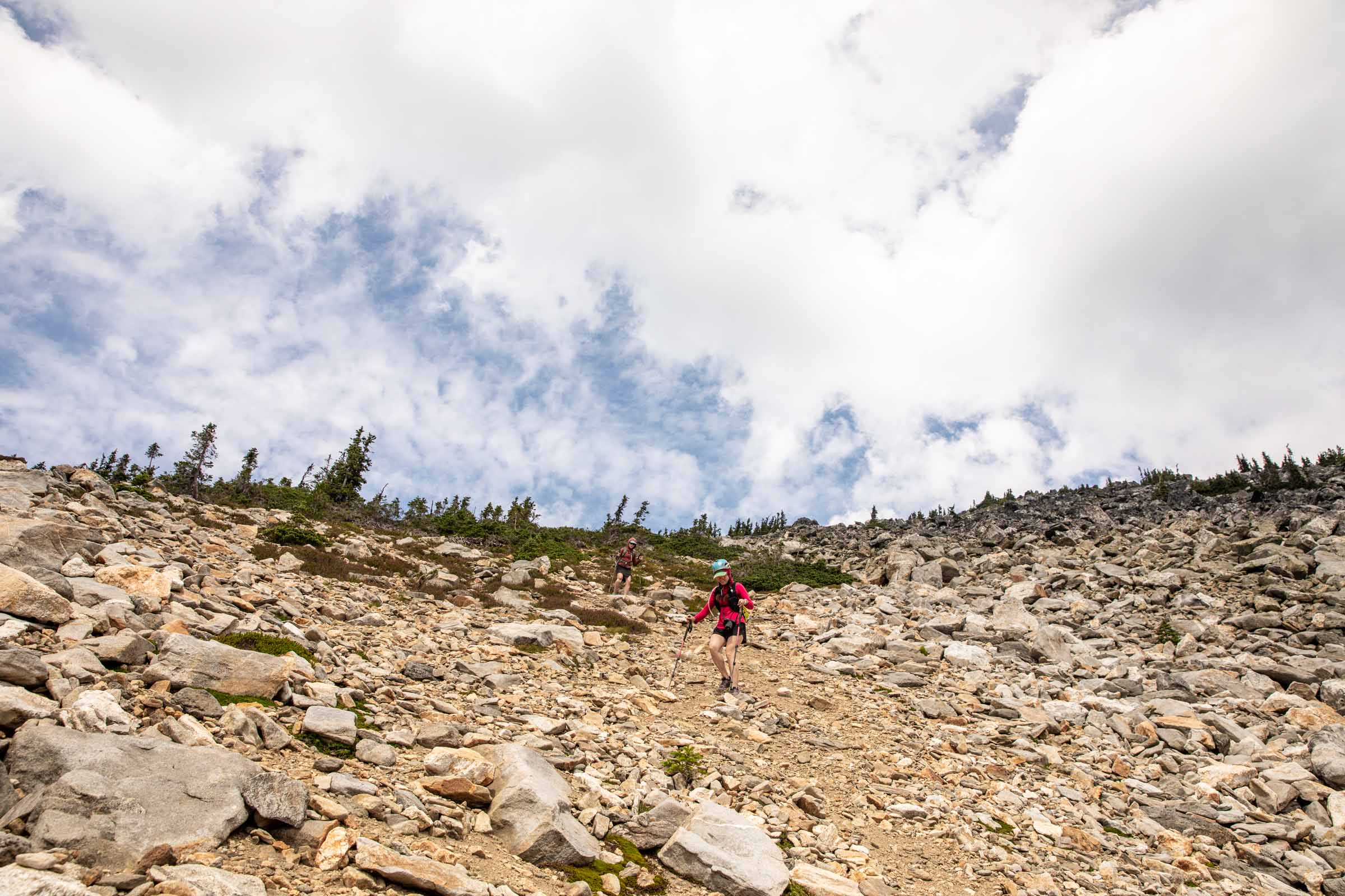
To say the least, we were excited to have arrived at Crescent Lake because it meant the trail would be close by. Though a trail exists, this section had not been maintained in recent years so it took some extra brain power to navigate the thick blueberry bushes, trusting that the ground was still where I believed it to be. The deproach is not without some light uphill, so be prepared! It is short sections that help break up the downhill, in my opinion. Once we returned to our original junction, we couldn’t have been happier! A cruise-y one hour back to the car if we were able to ignore the aches in our feet and legs. A perfectly long day where were only saw one person on the trail! (surprisingly there was another party who registered themselves after us at the trailhead – they must have been farther behind us)
Notes
- We traveled at a fairly steady pace and finished as a moderately long day due to route finding. Trail is open and recently maintained up to Lake Merritt.
- Approaching Mount Mastiff first, when in doubt, stay east of the ridge. Otherwise stay along the ridge for the whole route. Aim towards Lake Crescent after Mount Howard, avoiding the cliffs. Some bushwhacking may be inevitable.
- The forest road to the trailhead is rough in parts, but a low clearance car should be able to make it with some care
- Plan your outing carefully with the dreaded Sultan traffic on Sundays
Photos taken on Canon 5D Mark IV


You May Also Like
the ultimate 2-day backpacking itinerary to see the Olympic National Park
daylight savings | big jim ski tour