journey to valhalla | lichtenberg and valhalla ski tour
9 miles . 4000 ft gain . 5825 ft high
Henry M Jackson Wilderness
An exploratory day was in need after the dry spell we had. Snoqualmie was still out of the question as it was still mending and exit routes have been rather hazardous. So you skip it and you head over to Stevens Pass because it begins a thousand feet higher. And when you call up your friends to see who’s free and one is willing to explore and ski, you go for it!
It’s always a joy reading a topographic map without any tracks to follow. It really gets you into that exploratory mindset instead of blindly follow the leader. It’s a good way to check yourself and make sure you know what you’re navigating through, what hazards lay ahead, what to expect and not take anything for granted. To be fair, I love a good track to be more mindless too!
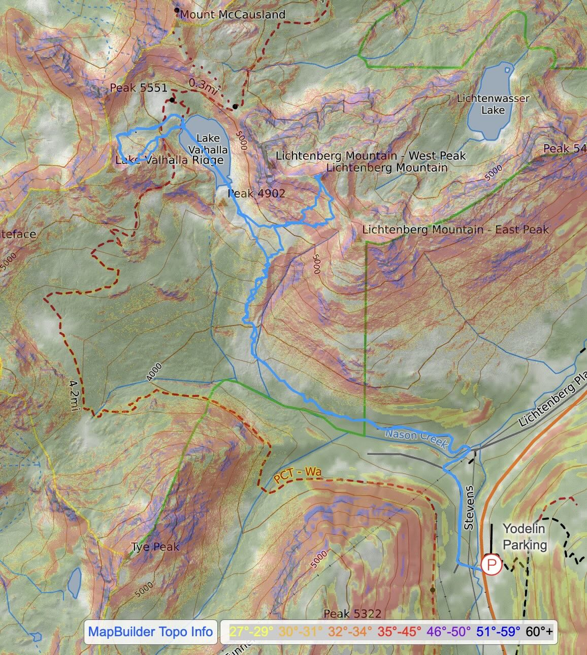
We parked at the Yodelin parking lot, the first one east of the ski resort. Theoretically you can park on the north side of the road, but that can get easily packed since there are houses back there. We carefully crossed the highway and started skinning from the start of the Stevens Road. Unfortunately, this starts as a downhill, so you have to skin up 200 ft at the end of the day. We decided to follow other recent tracks, about 3 parties ahead of us and everyone decided to turn right onto N Nason Road to cross Nason Creek earlier. Perhaps later season it would just have been as easy to continue on S Nason Road and cross the creek later up the valley. Alas, we stayed north of Nason Creek as a skin track was already cut into the mountain.
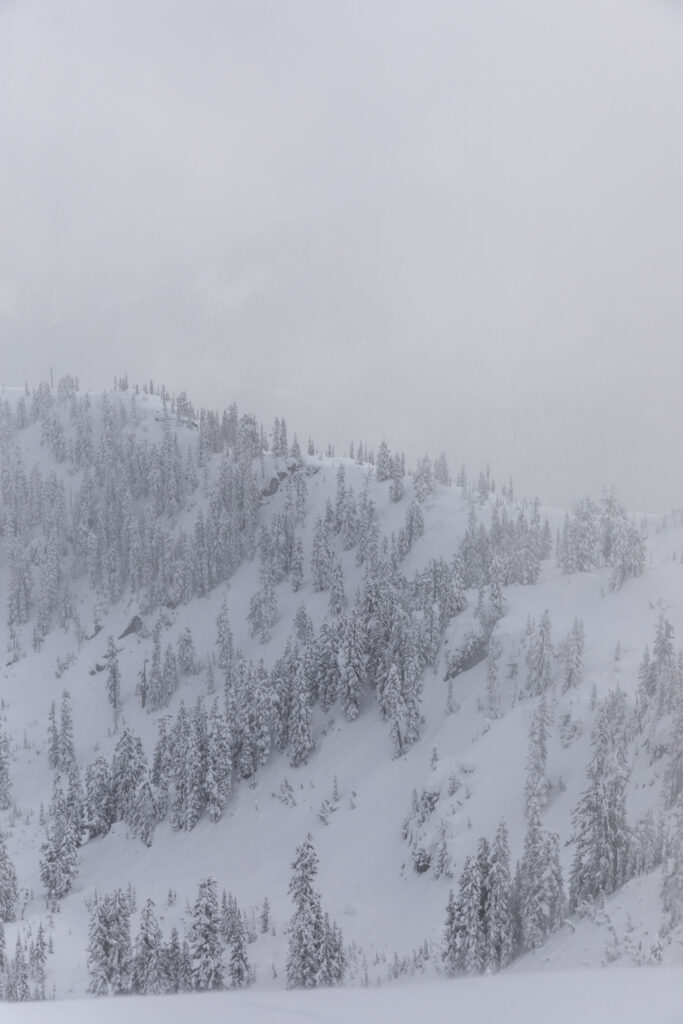
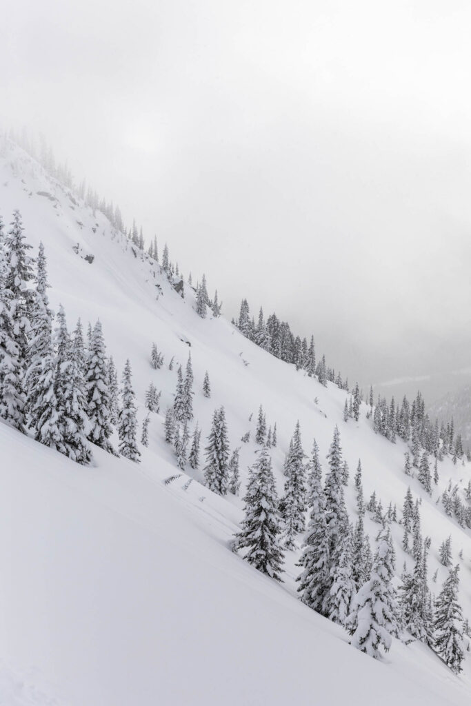
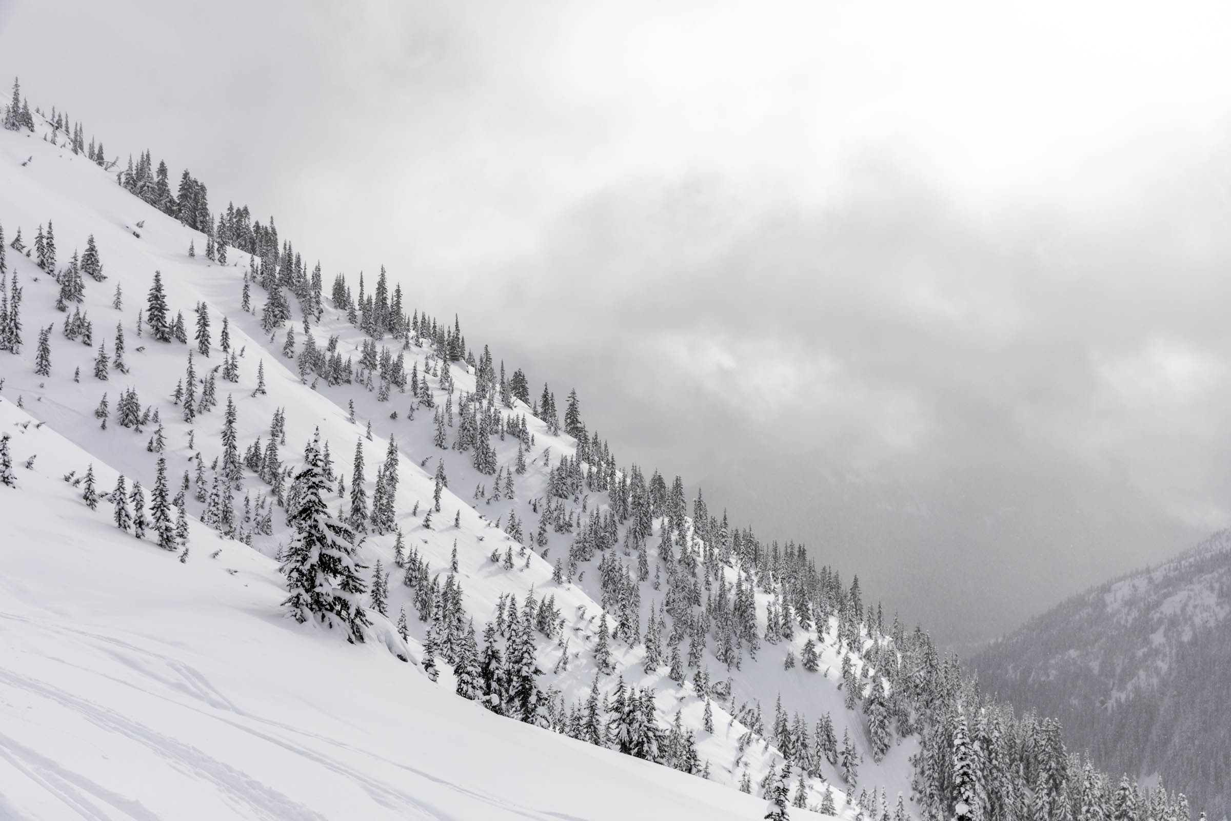
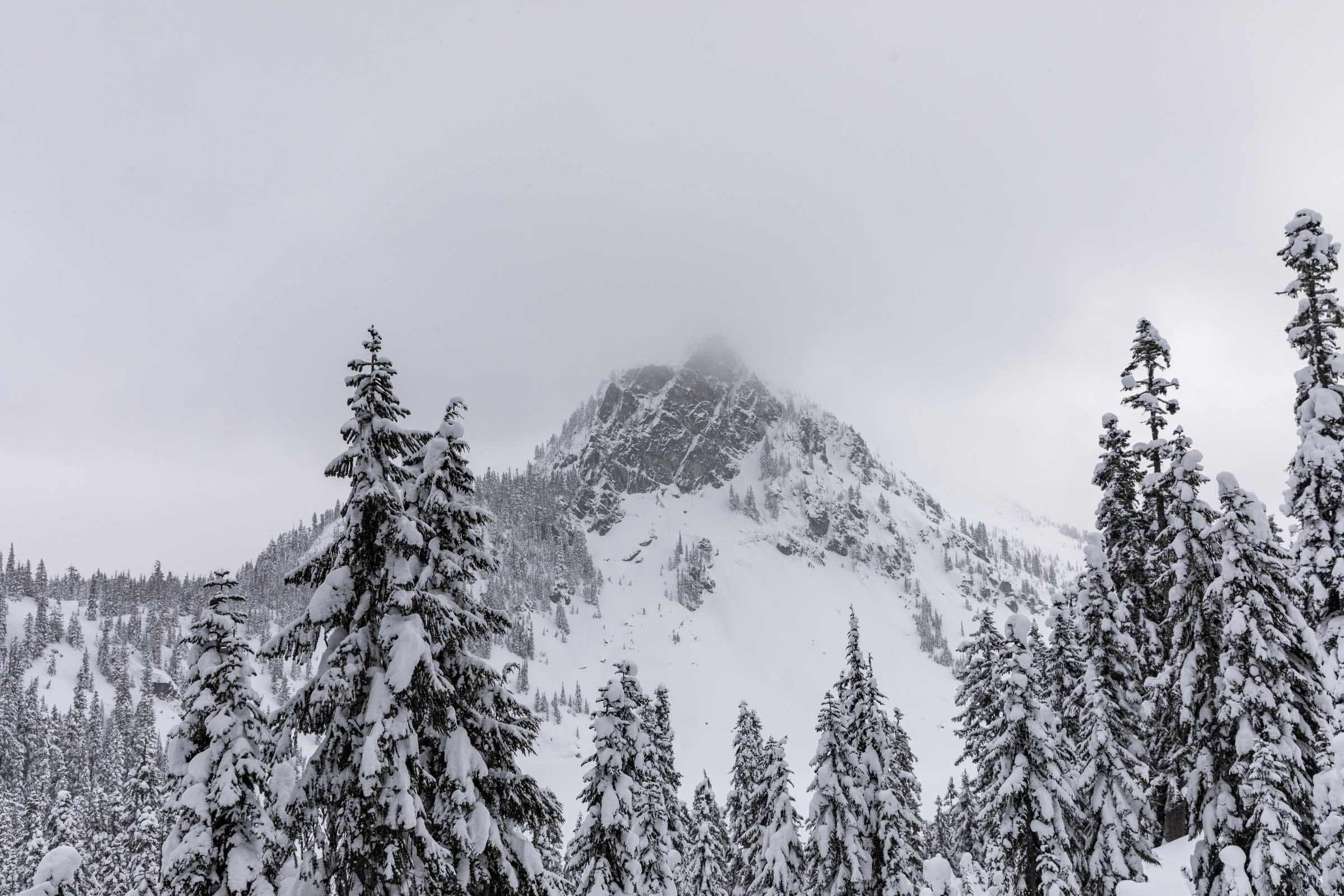
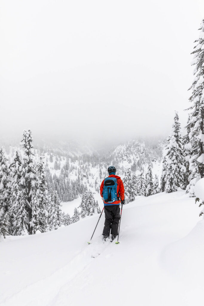
Generally, we followed the creek, staying low beneath all the overhead steep snow hazards. Once it opened up into a clearing, we headed up towards Lichtenberg Mountain. Here, the majority of the slopes are low angle and we did our best to remain on the ridge to reduce risk. It was rather uneventful, compared to what I thought when I last visited Lichtenberg. We had entered via the Smithbrook road for a much reduced risk, low-angle terrain. At that time, looking over south was daunting, partly due to the crusty layer that transpired then. So I was pleasantly surprised by how well we traveled this time around.
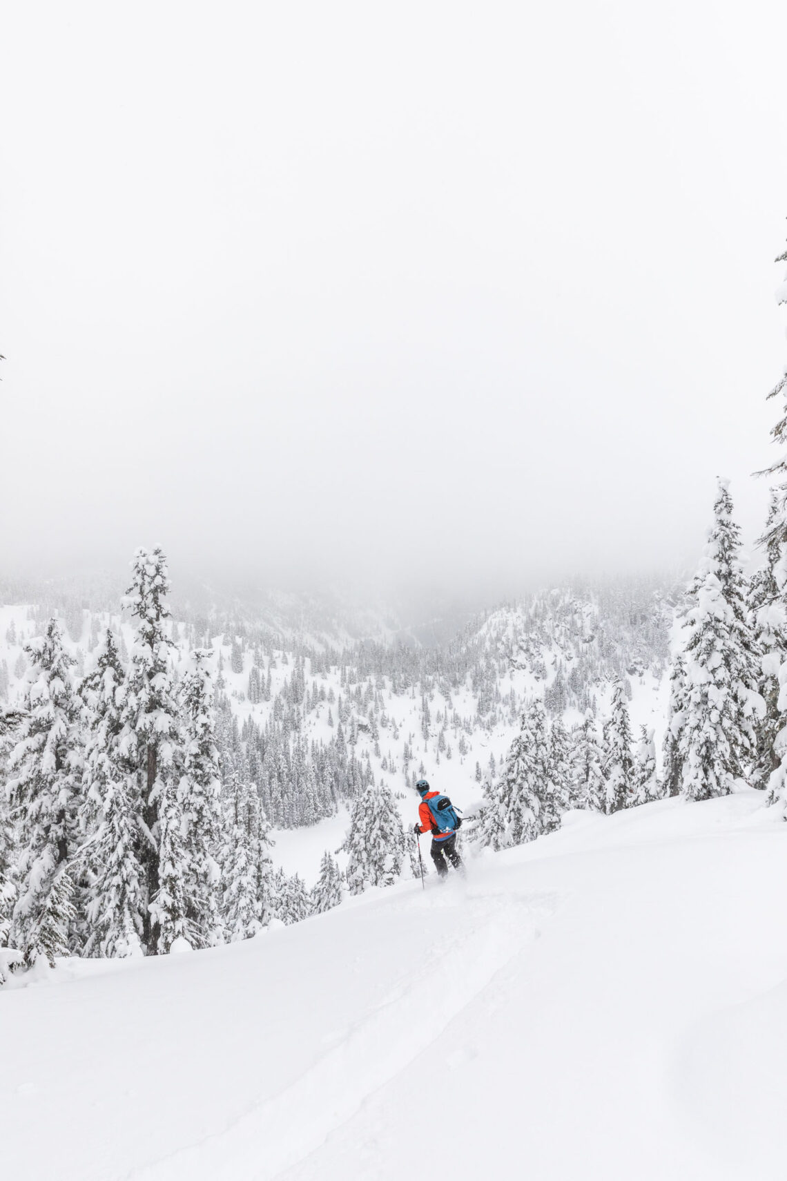
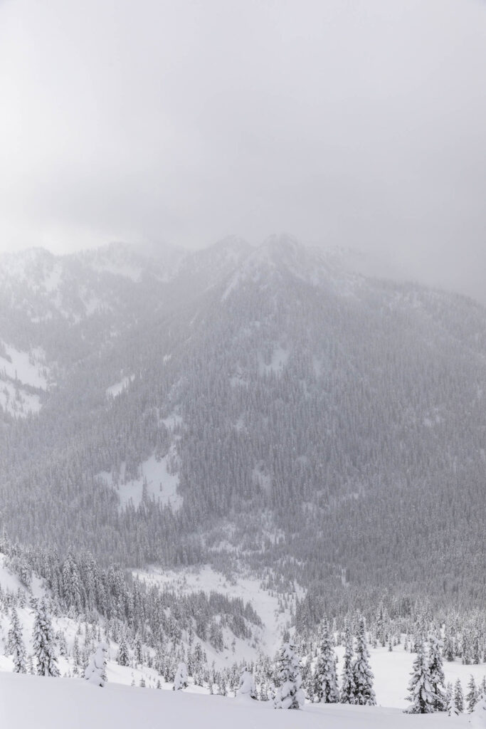
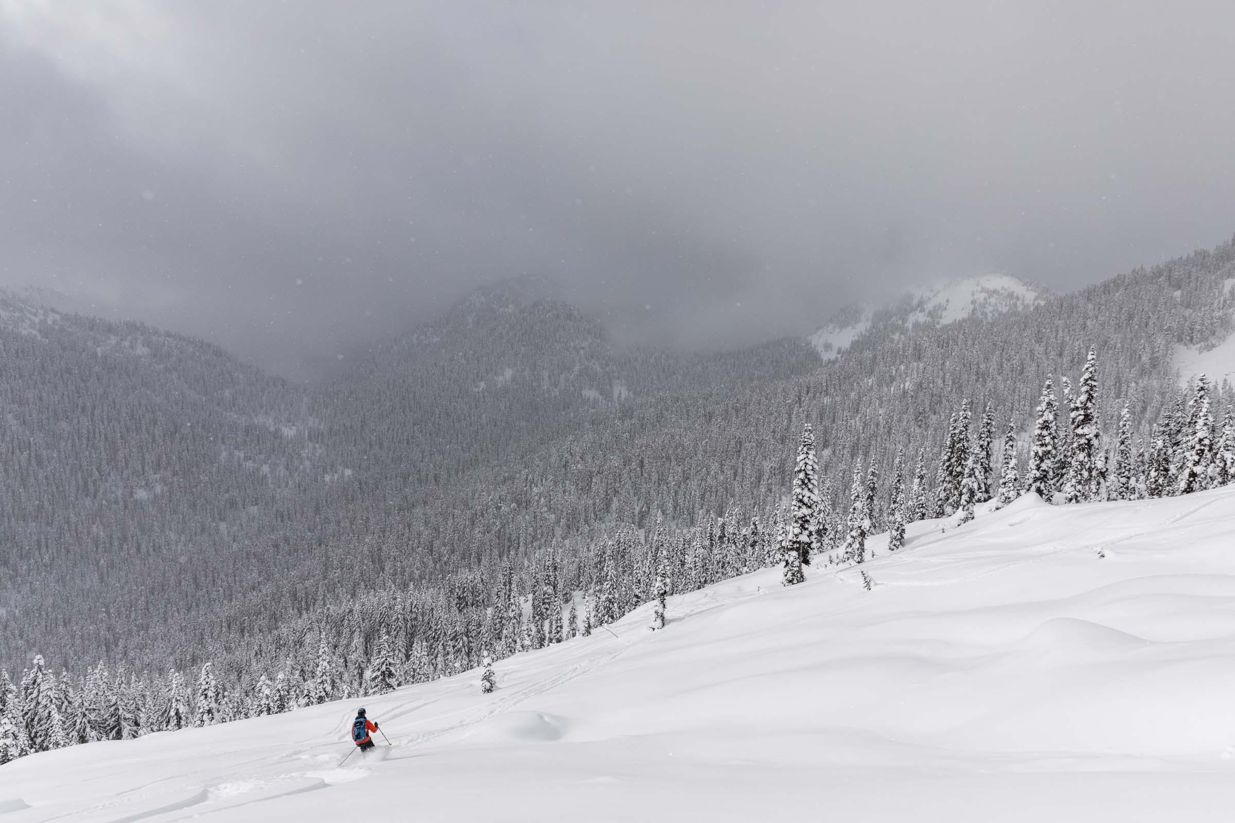
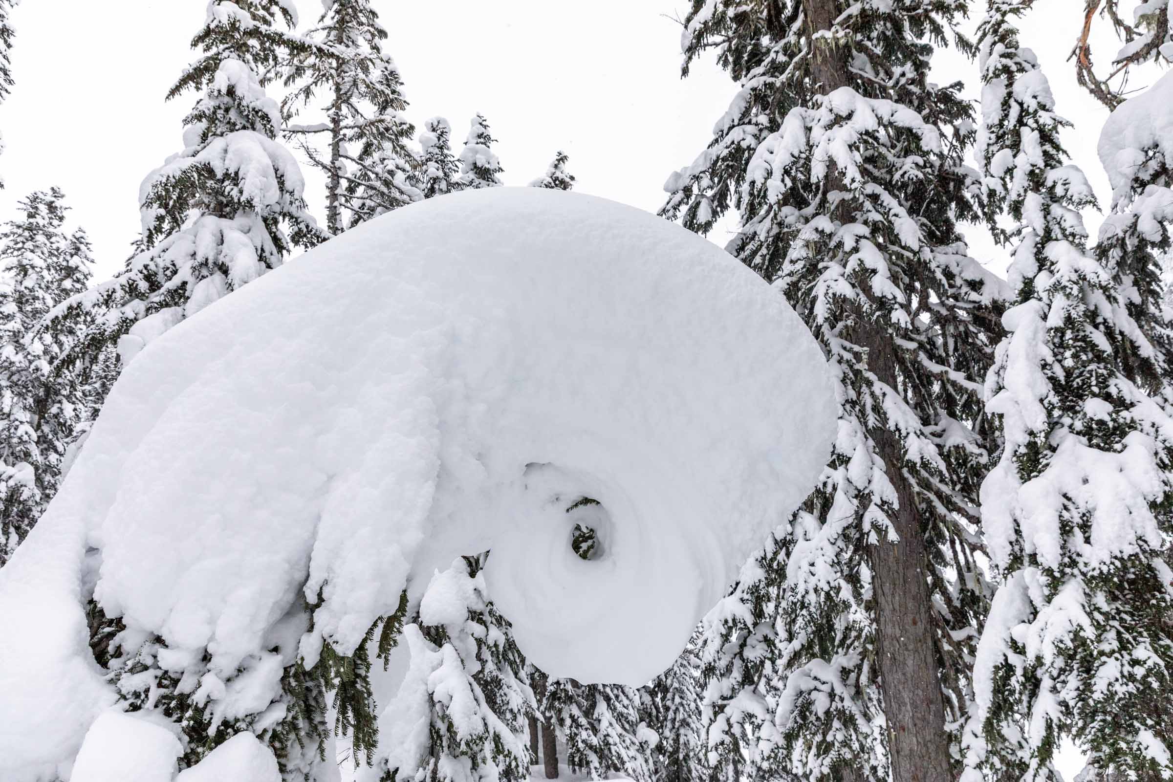
At the summit, we had minimal views as the clouds came in and out. Determined to have more of an adventure day, we decided to ski only 800 ft down so we could check out Lake Valhalla. We soon traversed towards the lake and put skins back on to cross the lake and into the north facing bowl on the west side of the lake. The current avalanche risk was higher in north facing zones, so we were more cautious to remain on non-avalanche terrain, which this bowl provided perfectly for us. The prize was deep powder!
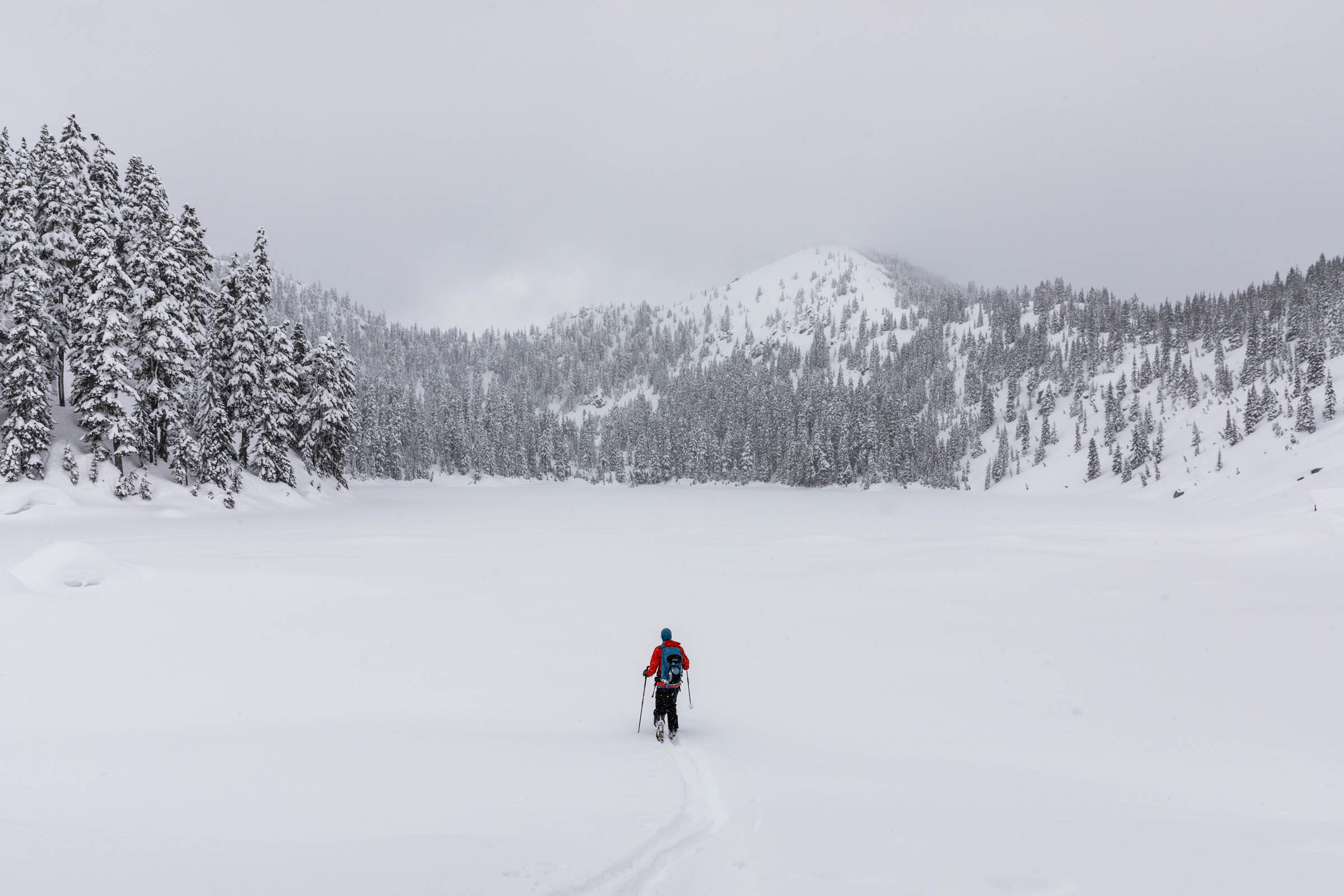
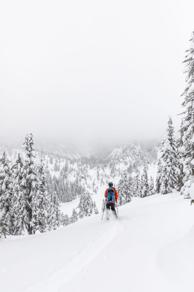
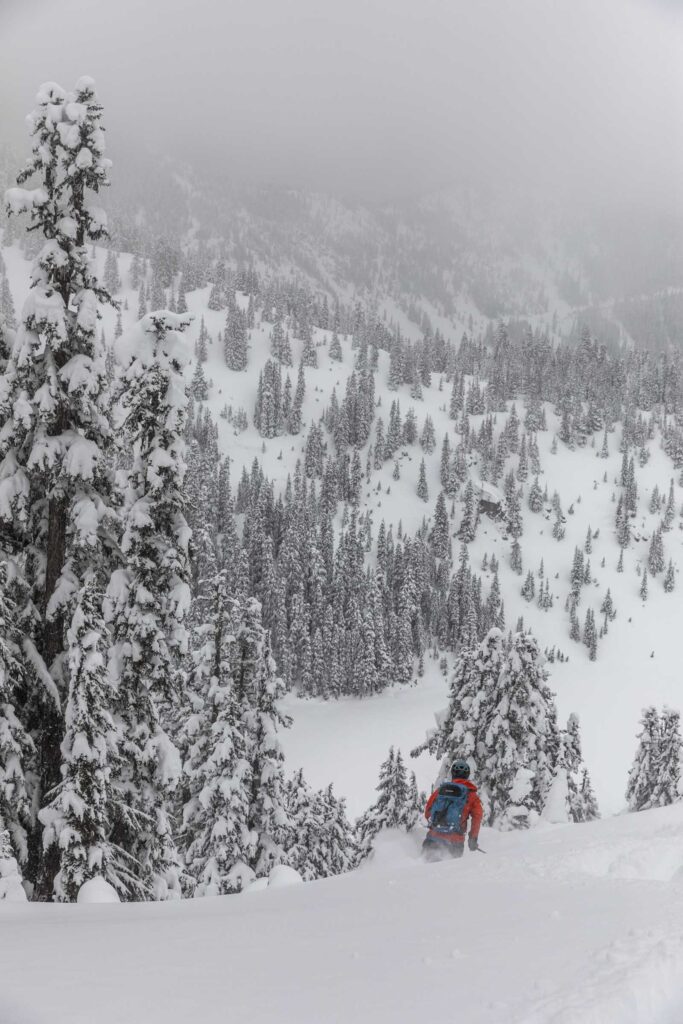
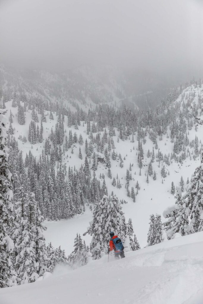

After realizing how annoying the south facing snow was, we were excited to lap the north slope to get the full enjoyment before heading back out to the car. Skin across the lake or push yourself out, it’s your choice. About 1500 ft of beautiful descent and open trees (hopefully not crusty for you) and you’re back at the meadow to the skin up/exit track. For the most part, we were able to follow the track out without issue and only felt the need to take the skis off once for a longer 20 ft uphill. Back on the road, we eventually had to skin out, but for how short that exit was, it was well worth the snow in this area. Have fun skiing!
Notes
- Park at the Stevens Pass Yodelin Lot. This is free, first-come, first-served, but usually takes a while to fill up even when the main Stevens Pass lots are full.
- Be careful when crossing the highway
- The exit is a mandatory uphill, but it’s gentle and easy and on the road.
- For more beginner ski touring tips and a list of places to go, check out my guide: the ultimate beginner’s guide to backcountry skiing | washington
Photos taken on Canon 5D Mark IV


2 Comments
Greg H
Great post and pics! Hoping to do this early 2026 😊
cherlyn
Thank you! Have fun out there!