Best Hikes Around Seattle
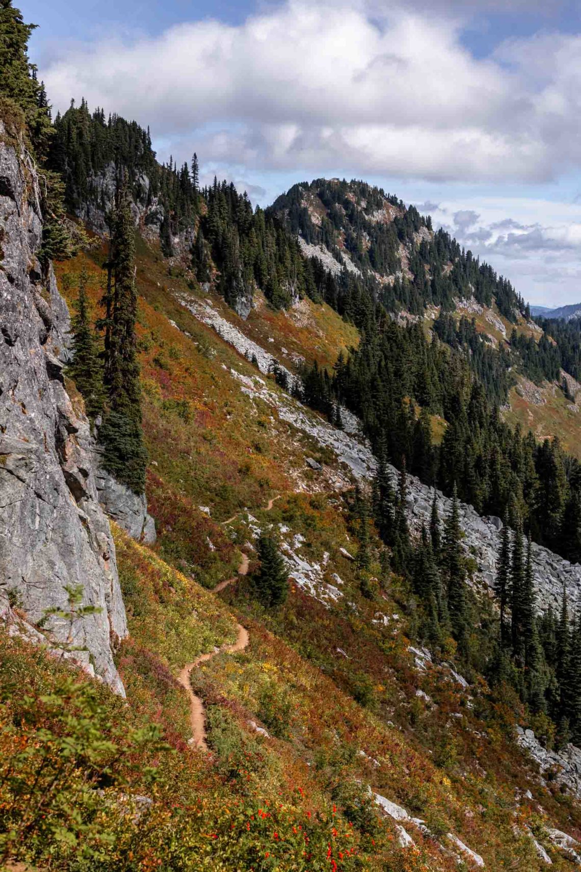
I often get asked for hike recommendations by people who’ve either recently moved to Seattle or visiting for a short time. So I’ve compiled a list of varying difficulty and scenery as a starting point for anyone to use and get more into the great Washington outdoors. I’ve found many sites to have an overwhelming number of trails or ones that recommend the same top 5 trails. So instead of just referring you to the same frustrating place, here are some of my favorite hikes, from popular to the less-traveled, ranging from short to long hikes, summit views to lake swims.
For the full list of trails including trail stats, drive time and tips, go here. And if you’re looking to explore more trails on your own or want to find out how to pick the perfect trail for yourself, I’ve created another guide for where to start your own adventures. Happy trails!
table of contents
short hikes
These are some of the least intense hikes that offer something interesting other than forests along the way or at the destination
- Sauk Mountain: This is a very nice hike for wildflowers in the North Cascades. The bathroom is also a cute A-frame!
- Skyline Lake: A short hike to the lake – good for when Steven’s Pass isn’t in season
- Pinnacle Pass: Beautiful views of Mount Rainier from the south side
- Mt McCausland: Relatively short hike for beautiful views, a bit further east from Steven’s Pass, for an easier hike head down to Lake Valhalla, head up the steep trail to McCausland for better views.
- Mt Catherine: Short Snoqualmie hike with views from Rainier and more! May need to park low clearance car a mile before trailhead due to rocky road.
Lake Hikes
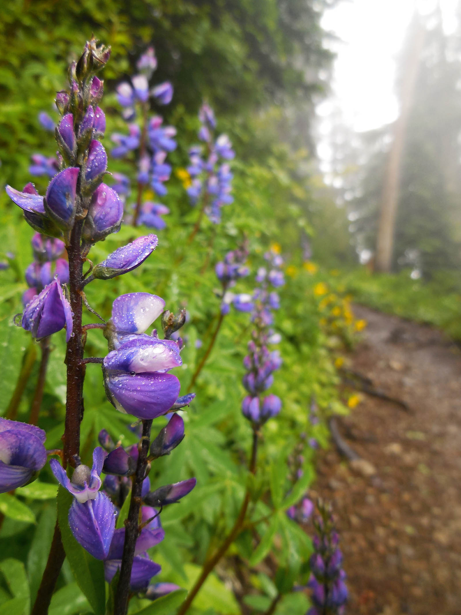
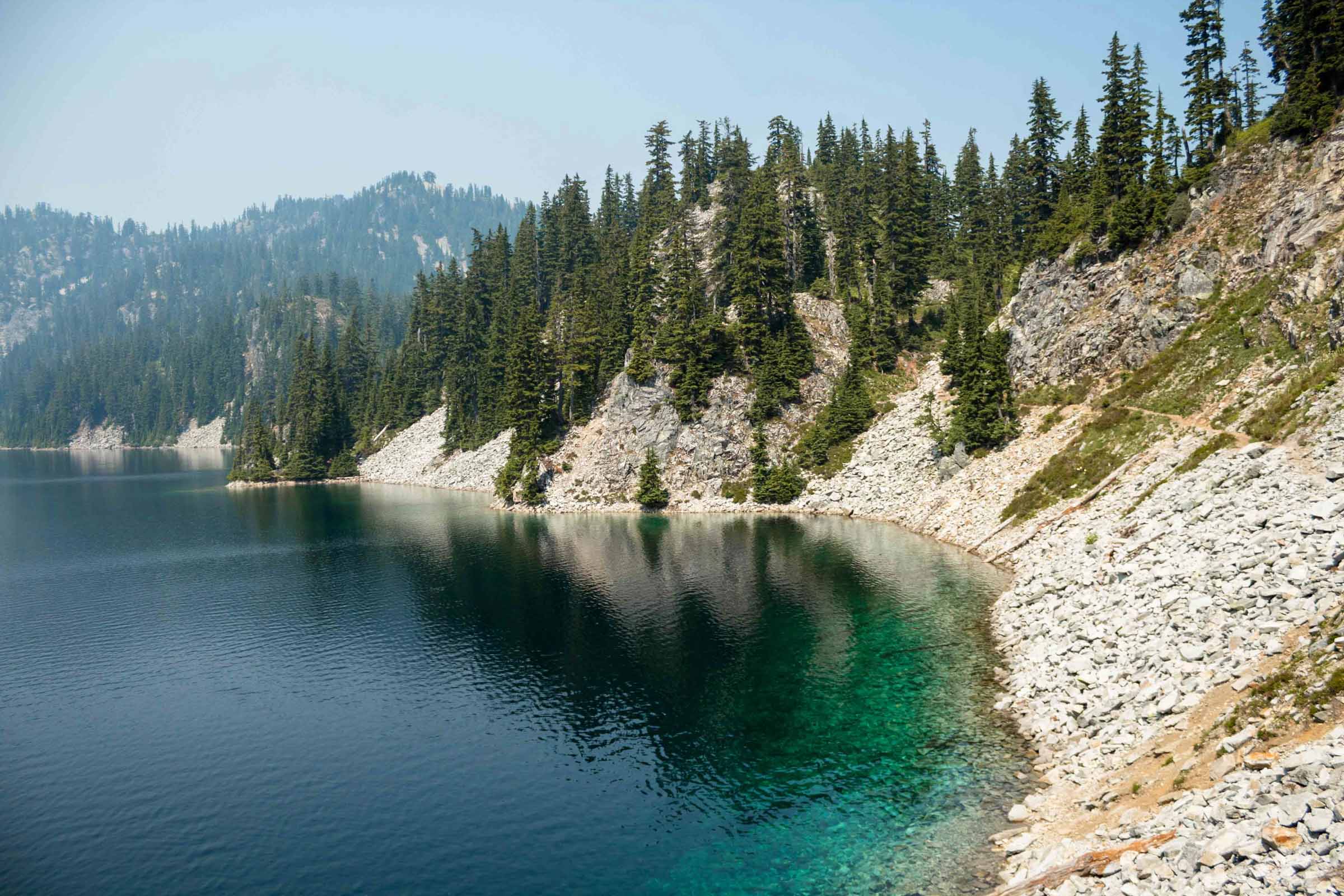
- Snow and Gem Lakes: Two amazingly azure lakes by Snoqualmie Pass. Hike is steep along the ridge to get to the lake. Great place to go for a dip in the water!
- Rachel Lake: A little less crowded and further drive into Snoqualmie. Hike is a gentle grade along a stream until the final climb to the lake where most of the elevation gain is made.
- Serene Lake: A longer lake hike with a side trip to a big waterfall. One of many beautiful alpine lakes in the Mountain Loop Highway area, so parking can be difficult despite the large lot.
- Lake Ann: Beautiful lake in the subalpine region by Mt. Baker. Hike can be hard since you must first go downhill to the basin and back uphill before getting to the lake. Good camping spot too!
- Colchuck Lake: The Enchantments have grown in popularity due to social media, but Colchuck Lake with Dragontail Peak in the background is still seriously some of the best views there without the strenuous work of climbing Aasgard Pass.
- Blanca Lake: It’s quite the drive from Seattle, but it’s gotta be one of the most easily (but still hard) accessible hikes to a turquoise colored lake. Like the gatorade colored kind!
Peaks
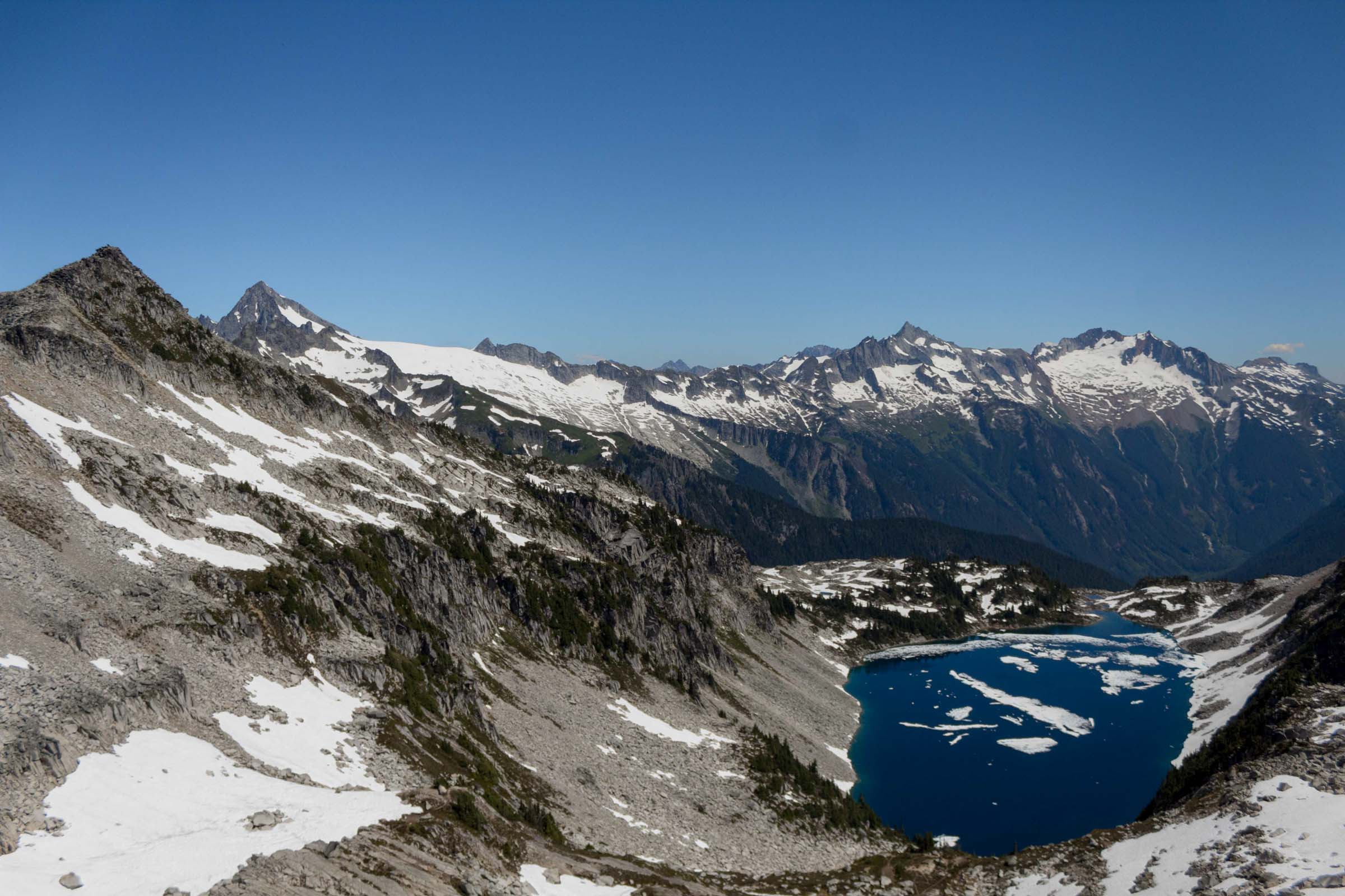
These are hikes with awesome views at the top that are worth the longer hike.
- Hidden Lake Lookout: The road to the trailhead is severely pot-holed. Around July, the flowers are in full bloom, so after the forest section, you hike through beautiful meadows with glimpses of Mt. Baker. It opens to subalpine region and then a short scramble to the lookout with views of the lake and surrounding mountains.
- Mt Pilchuck: One of the best hikes with a summit view. It is relatively short and close to the city. But the pot-holed road is quite bad, starting before Rachel Lake and continuing until the last mile of paved road. Views of all 5 volcanoes possible.
- Mt Dickerman: Large trailhead to accommodate many hikers, but still go early. The switchbacks are frequent at first, then you pass a waterfall before heading up the subalpine meadows to the peak. Views of Glacier Peak, potentially Baker, and surrounding mountains too.
- Easy Pass: Okay not technically peak, but this is a great way to get a good glimpse into the deep North Cascades, beautiful wildflowers and streams everywhere! It’s an access point for many scrambles, or one segment of a backpacking loop you can connect to Thunder Creek.
- Granite Mountain: There’s a lookout up here! It’s got the classic I-90 views all the way south to Mt Rainier. It’s a lengthier hike but well worth the 360 views of Snoqualmie Pass.
- Yellow Aster Butte: Views of Mt Baker are incredible here! It’s short but there are steep sections. In the summer, it’s full of wildflowers and in the fall, all the red colors from huckleberry plants.
technical hikes
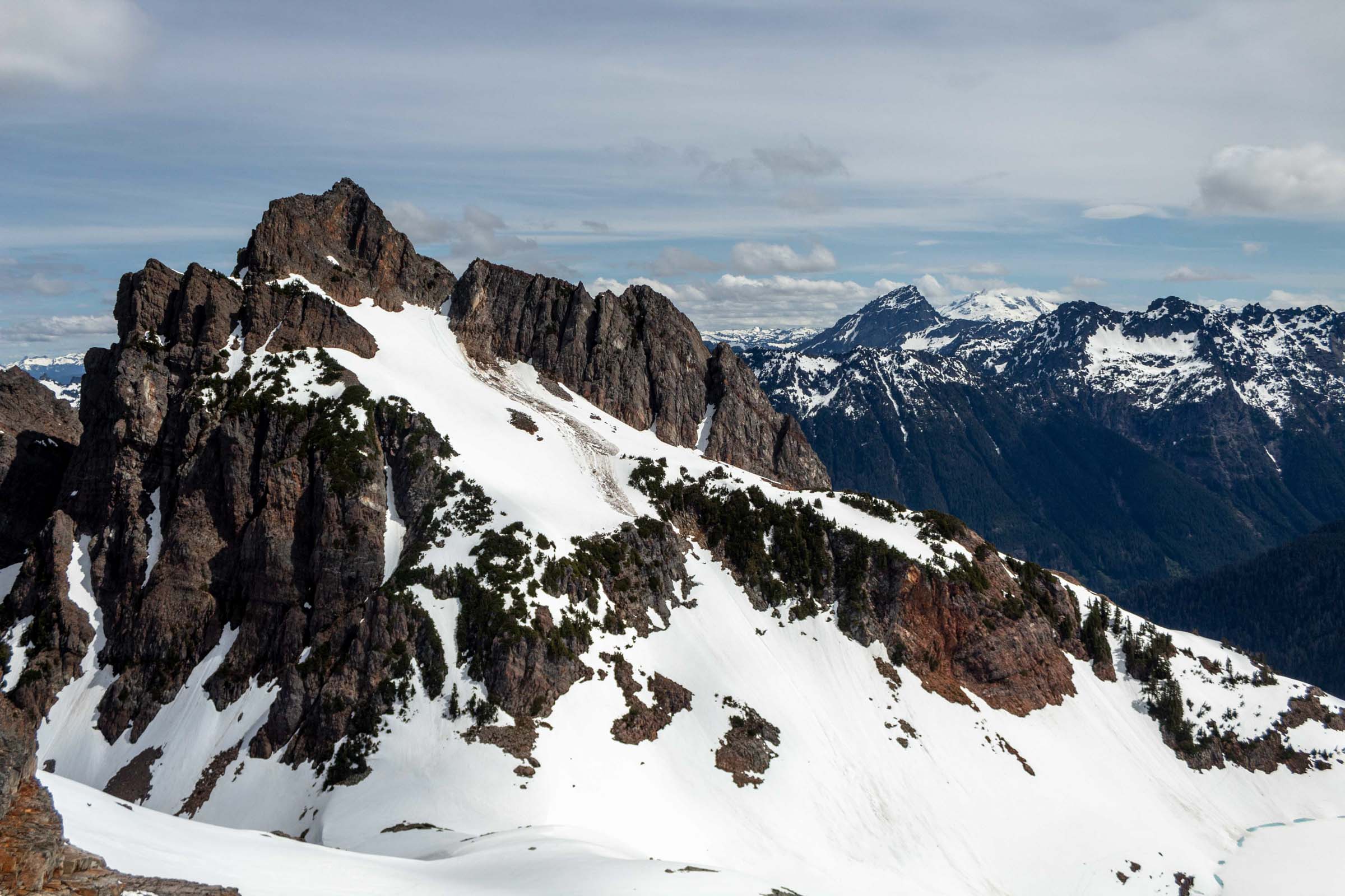
I recommend this for those looking for a bit more challenge in scrambling/route finding. So these are not truly “technical” but require a bit more thought. Typical hiking gear is enough, unless you stumble on snow, which I would probably recommend ice axe and crampons. Some of these trails use steeper climber’s trail, but the rewards are great! If this might be a big jump for you, check out this hike-to-scramble progression guide I put together to get you up to speed.
- Vesper Peak: Very long forest hike into boulder-hopping. The whole time you can’t see the peak until you finish the steep climb to the Headlee Pass. Then take a break for a flat hike traversing to Vesper Lake before a final scramble to the peak. Sometimes you may spot climbers on the north wall of the peak.
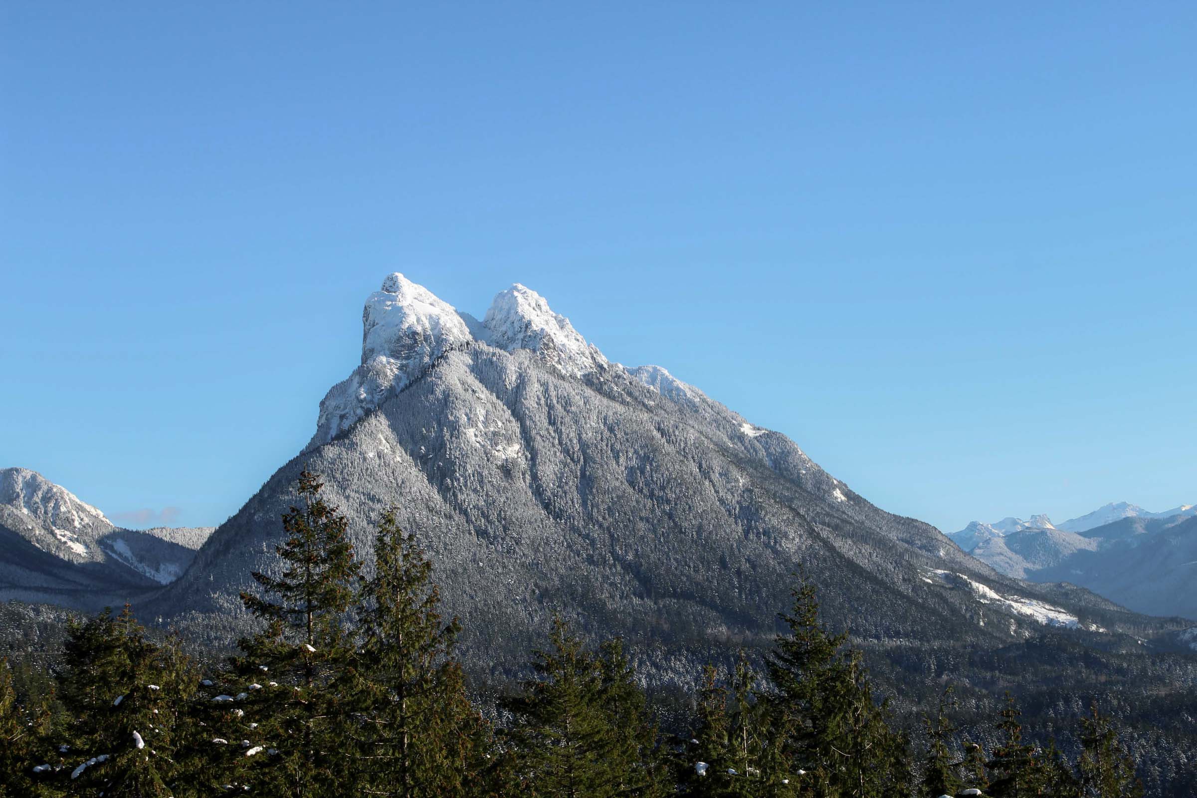
- Mount Baring: Steep climber’s trail gaining about 2000 ft in 1 mile. Then turns into an undulating trail on the ridge and a steady climb up the gully between the twin peaks. Take the trail to the north/left, where obvious to the true peak. Starts behind the pit toilet on an unmarked trail different from the one that leads to Barclay Lake, route finding necessary.
- Gothic Peak: The trail starts out as a leisurely hike along the Monte Cristo trail, but then starts to climb as you traverse the side of the mountain and then steeply towards Gothic Basin and the lake. Gothic Peak, and Del Campo, are a good side scramble from the lake. Accessible in the winter as well with appropriate gear.
- Camp Muir: Gets you to 10000 ft, but be sure to have good shoes to go on snow or you’ll be slipping and coming down with wet feet. Straightforward hike from Skyline trail out of Paradise at Rainier NP on a clear day. Views of St Helens and Adams to the south. You can watch people go up and down from the summit climb. Route finding necessary when weather conditions are poor.
- Mount Saint Helens: When else can you say you’ve walked to the top of a volcano? Depending on the season, the hike is simply a walk up a gravel hillside. In summer months, a permit is required (even if snow exists), and in the off season, the route starts at a lower trailhead.
Classics
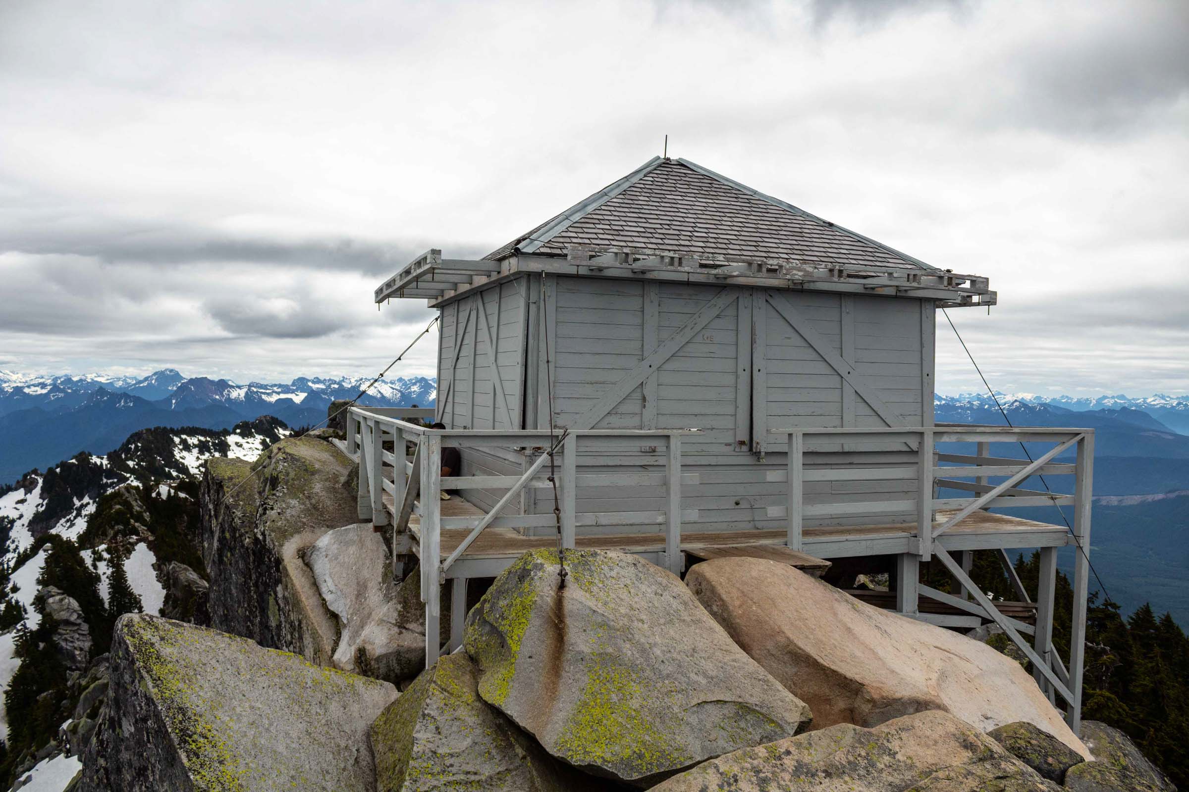
These are hikes that I consider to be classics – the most recommended hikes for hikers new to the Cascades. They’re solid hikes, but often very popular on weekends, so be sure to get there extra early. A good rule of thumb is to be at the trailhead before 8am.
- Mt Si: Long switch backs through the forest until the last 1/4 mile that start to open up to views. Optional scramble on the haystack. Discover Pass required.
- Mailbox Peak: New trail seems like it’s never ending and then there’s still the final climb through boulders to the top, would recommend taking the old trail up and the new trail down to save your knees. Wildflowers about near the summit. Discover Pass required.
- Bandera Mountain (and Mason Lake or Mt Defiance): Definitely need to get to trailhead early since parking is more limited here. Mason Lake is more popular and people enjoy camping near the lake. Bandera is another 1000 ft elevation gain from the Mason Lake trail through steep and sometimes slippery soil/rocks. But awesome views at the top. Mt Defiance is lesser known and a farther hike, so choose this one if you want a bit more solitude and wilderness. Northwest Forest Pass required.
- Mt Pilchuck: Drive up is horrendous for the potholes, some of which are unavoidable, even before getting to Heather Lake. Fairly large parking lot, but can start filling up later in the day. Most people opt for Heather Lake. Hike is through various terrain, from forest to boulders, and a short scramble to the lookout. Northwest Forest Pass required.
- Heather Lake: Pass through a few potholes. Parking lot seems big, but is still very limited – remember to make room for cars passing by if parking along the road. There’s a boardwalk around the lake if you wish to take that. Northwest Forest Pass required.
- Lake 22: Extremely popular lake, and parking lot is tiny. Cars end up parking along the highway, be careful not to park where noted. Also a path around the lake. Northwest Forest Pass required.
- Lake Serene and Bridal Veil Falls: More strenuous lake hike, especially if taking the side trail to the falls, which can add about an hour to the hike. Beautiful in winter or summer. If the parking lot fills up (or your car can’t make it up an icy road), you can park in the space next to the bridge off the highway. Northwest Forest Pass required.
- Rattlesnake Ledge: One of the most well-visited hikes due to its proximity to the city. It’s a short hike with nice views on the ledge – be care how far you walk out. This is also a good sunrise hike. No park fees.
short walks
These are more of a lazy stroll. I find them to be good if you’re passing nearby and want a quick hike or more nature to fill the day.
- Franklin Falls: A very short, flat hike to the falls.
- Heybrook Lookout: Short hike to a lookout in the middle of Hwy 2, views of mountains like Baring, Gunn, Index. People often hammock at the top.
- Snoqualmie Falls: Just for pictures or visiting the town/Salish Lodge.
- Big Four Ice Caves: Short walk to caves – remember to be cautious about the caves. They can collapse!
winter hikes
Contrary to belief, you can still hike in the winter, it’s a year-round activity! However, make sure to always check the weather before you go and tell people about your plan. Generally, these are hikes that are well travelled in the winter, so snowshoes aren’t necessary. See the gear page for more info. The trail will be obvious, though there may be patches of ice, in which micro spikes would be a good investment. Typically, it is slower to move on snow/ice-covered trails, so keep that in mind when estimating trip times. And if you’re unsure if a hike is safe, check previous trip reports and err on the side of caution – many summit hikes are dangerous in the winter due to avalanche conditions. Check out my guide on winter hikes too if you’re new to winter conditions hiking. But I hope you enjoy these winter ones!
- Lake Serene: You can get a decent work out with this one and even take a short visit to Bridal Veil Falls, which may be frozen over. You might even see people ice climbing the falls in colder temperatures!
- Heather Lake: The road to the trailhead may be difficult to drive, but parking a few hundred feet away is better than getting stuck. The hike is shorter than other lakes, but can still get your heart rate up.
- Skyline Lake: It can get busy and crowded especially with skiers, but the views of Stevens Pass and the lake can still be rewarding for a relatively short but steeper hike! Snowshoes are good for this one.
- Heybrook Lookout: I’ve done this one quite a few times in the winter. It’s short and sweet with the most gorgeous view of Mt. Baring in the winter, as well as the other neighboring peaks in the Wild Sky Wilderness.
- Franklin Falls: This is a very short hike to the falls where the I-90 highway splits around the trail. It is especially beautiful in the snow and when the waterfall freezes over. In some years, it’s cold enough that you might spot some ice climbers!
- Talapus and Ollalie Lakes: A longer lake hike in the winter, but it’s well out of avalanche danger. Enjoy the quiet winter wonderland.
- Mt Si: For those still looking for a workout, Mt Si is always in good shape for a winter hike. Plus, you can’t beat that short drive from the city!
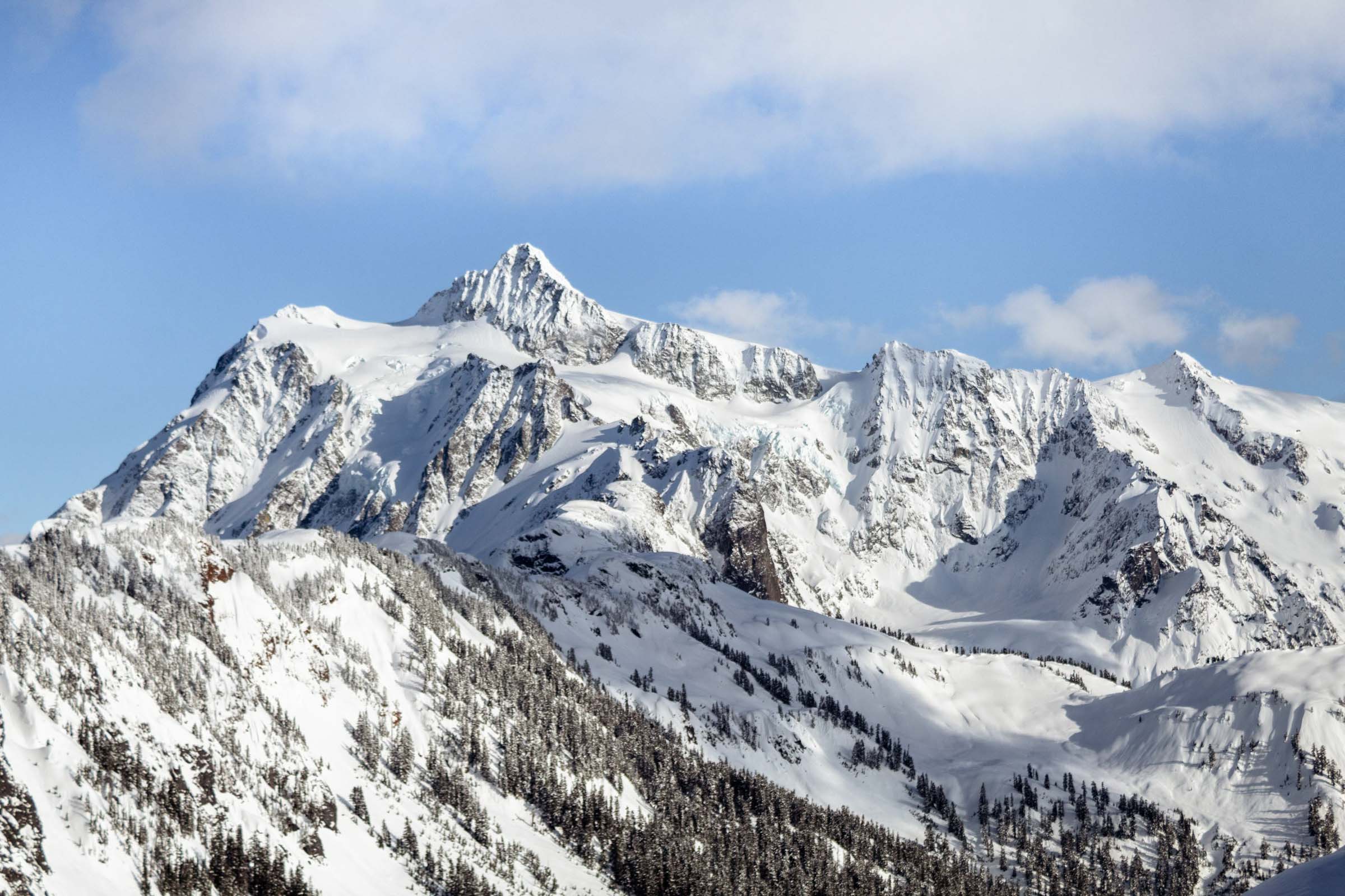
- Artist Point: This is a wonderful snowshoe hike, and make sure to double check the road conditions before heading up! But if you do take the long drive from Seattle, it is well worth the beautiful views of Shuksan and Baker. Find the snowshoe trail and follow that up – it’s the wider and deeper one! The skinny tracks are for skis, so try not to step in those tracks.
Hike Summary
For a detailed topographic map of the trails listed below and use my Caltopo map of trails for a more interactive view of the map.
ratings
- Easy: Most people will be able to do these with no problem. Generally, only a couple hours long for a few miles and elevation gain of ~1000 ft or less.
- Moderate: An average fit person can do this. You may need to catch a breath, and you might be sore the next day.
- Hard: Geared towards more fit hikers, but you will probably still be sore the next day. Usually longer hikes (6 miles+) with more elevation gain (3000 ft+), with a continuous grade of about 1000 ft/mile, but the views are rewarding
- Difficult: More technical and steep trails, but can range in length. Generally need more experience on hikes and understanding of terrain.
- Note: remember to take your time as needed, it’s not a race to the top!
trailhead passes
Some trailheads allow you pay for parking at the trailhead with cash. Others, you may need to obtain at a ranger station or online. When buying online, there’s usually an online transaction fee, but you’ll save time at the trailhead. Here’s a little table that encapsulates the differences. Note that state parks and national land do not have interchangeable passes!
| Pass Type | Location Used | Day Pass | Annual Pass | Where to buy | User |
|---|---|---|---|---|---|
| Discover Pass | State Parks and recreational land | $10 | $30 | Online or in local stores | 2 cars |
| Northwest Forest Pass | National Forests (WA and OR) | $5 | $30 | Online or some trailheads or local stores or ranger station | 2 cars |
| National Park Pass | Any national land, including National Forests | (depends on park) | $80 | Online or park entrance | driver + 1 car |
| Mt Rainier Pass | Mount Rainier National Park | $30 for 1 week ($15 for walk-in) | $55 | Online or park entrance | driver + 1 car |
| Olympic National Park Pass | Olympic National Park | $30 for 1 week ($15 for walk-in) | $55 | Online or park entrance | driver + 1 car |
list of trails
- SP: State Park (Discover Pass needed)
- NF: National Forest (Northwest Forest Pass or National Park Pass needed)
- NP: National Park (National Park Pass needed)
- MBSNF: Mt Baker-Snoqualmie National Forest
| Hike | Location | Trailhead | Drive Time from Seattle (hrs) | Length of Hike (mi) | Elevation Gain (ft) | End Elevation (ft) | Time (hrs) | Difficulty | Terrain | Tips/Notes |
|---|---|---|---|---|---|---|---|---|---|---|
| Alta Mountain | Snoqualmie Pass, OWNF | End of NF-4930/Kachess Lake Road | 1:30 | 10.5 | 3770 | 6240 | 6 | Hard | Moderate grade, scramble | Follow the ridge at the top |
| Annette Lake | Snoqualmie Pass, MBSNF | Annette Lake Trailhead | 0:45 | 6.5 | 2000 | 3660 | 3 | Moderate | Moderate grade | Good snow hike |
| Artist Point (winter) | Hwy 542, MBSNF (no fees) | Bagley Lakes Loop | 2:40 | 5.0 | 1000 | 5450 | 3 | Moderate | Moderate grade | Snowshoe hike, views of Shuksan |
| Bandera Mountain | Snoqualmie Pass, MBSNF | Ira Spring Trailhead | 0:55 | 6.5 | 3400 | 5140 | 4 | Hard | Moderate grade | Gravel road, steep grade at top |
| Baring Mountain | Stevens Pass, MBSNF | Barclay Lake Trailhead | 1:30 | 4.5 | 4000 | 5830 | 6 | Difficult | Steep grade and scramble | Gravel drive, trail is right of bathroom |
| Blanca Lake | Index, MBSNF | Blanca Lake Trailhead | 2:00 | 7 | 3400 | 4670 | 5 | Hard | Steep grade | Beautiful lake |
| Camp Muir | Paradise, Mt Rainier NP | Paradise | 2:20 | 8.5 | 4650 | 10080 | 7 | Difficult | Moderate grade, snow past Skyline Trail | Wear good shoes for snow, poles/ice axe for balance |
| Colchuck Lake | Leavenworth, OWNF | Stuart And Colchuck Lake Trailheads | 3:00 | 8.0 | 2500 | 5650 | 4 | Moderate | Moderate grade | Best views at the end |
| Easy Pass | Winthrop, OWNF | Easy Pass | 2:50 | 7.0 | 2900 | 6500 | 5 | Moderate | Moderate grade | Great views of mountains and valley |
| Franklin Falls | Snoqualmie Pass, MBSNF | Franklin Falls Trailhead | 0:50 | 4.0 | 400 | 2590 | 1.5 | Easy | Flat grade | Very popular, even in winter |
| Granite Mountain Lookout | I-90, MBSNF | Granite Mountain Trailhead | 0:50 | 8.6 | 3760 | 5600 | 5 | Hard | Moderate grade | Wildflower fields in summer |
| Gothic Peak | Mountain Loop Hwy, MBSNF | Gothic Basin Trailhead | 1:40 | 9.2 | 4450 | 6180 | 7 | Difficult | Moderate grade, steep scramble | Summit scramble, good in snow |
| Heather Lake | Mountain Loop Hwy, MBSNF | Heather Lake Trail, Granite Falls | 1:10 | 3.5 | 1100 | 2450 | 2 | Easy | Gentle grade | Walk around lake |
| Heybrook Lookout | Stevens Pass, MBSNF | Heybrook Lookout Trailhead | 1:00 | 2.5 | 1000 | 1700 | 1.5 | Easy | Moderate grade | Parking north side of Hwy 2 |
| Hidden Lake Lookout | Hwy 20, North Cascades NP (no fee) | Hidden Lake Lookout Trailhead | 2:20 | 7.5 | 3500 | 6800 | 5 | Hard | Moderate grade, some steep boulders | Terrible potholes on road, wildflower fields |
| High Divide Loop | Sol Duc, Olympic NP | Sol Duc Trailhead | 3:30 | 17.5 | 5300 | 5480 | 10 | Hard | Moderate grade | Views of Olympus on ridge |
| Humpback Mountain | Snoqualmie Pass, MBSNF | Humpback Mountain Trailhead | 1:00 | 4.0 | 2700 | 5170 | 3 | Moderate | Moderate grade, mild boulders at top | Park after first sharp left turn, watch for trail up the ridge |
| Index Town Wall | Index, MBSNF | Index Town Walls Parking Area | 1:10 | 2.0 | 1280 | 1780 | 1 | Difficult | Steep grade | Short and steep, views of Hwy 2 |
| Ira Spring Loop | Snoqualmie Pass, MBSNF | Ira Spring Trailhead | 0:55 | 9.5 | 5410 | 5515 | 6 | Difficult | Moderate grade and steep scramble | Link Petrid Pete's, Defiance, Bandera |
| Lake 22 | Mountain Loop Hwy, MBSNF | Lake Twenty-Two Trailhead | 1:10 | 5.0 | 1700 | 2450 | 3 | Easy | Gentle grade | Walk around lake |
| Lake Ann | Mt Baker NF | Lake Ann Trailhead | 2:50 | 8.5 | 2600 | 4880 | 4 | Moderate | Moderate grade | Starts downhill |
| Lake Serene & Bridal Veil Falls | Index, MBSNF | Lake Serene Trailhead | 1:00 | 8.0 | 3000 | 2650 | 4 | Moderate | Moderate grade | Detour to falls |
| Mailbox Peak | North Bend, MBSNF | Mailbox Peak Parking Lot, Washington 98045 | 0:45 | 9.4 | 4400 | 4845 | 5 | Hard | Moderate grade, boulder hopping | Wildflowers near peak in summer |
| Mt Catherine | Snoqualmie Pass, OWNF | Mount Catherine Trailhead | 1:10 | 3.0 | 1500 | 5050 | 3 | Easy | Moderate grade | Mini scramble at end, worth the views |
| Mt Dickerman | Mountain Loop Hwy, MBSNF | Mt. Dickerman Trailhead and Parking | 1:30 | 8.0 | 4200 | 5760 | 5 | Hard | Moderate grade | Mountain views |
| Mt McCausland | Stevens Pass, MBSNF | Smithbrook Trailhead | 1:40 | 6.5 | 1900 | 5750 | 4 | Easy | Gentle grade, steep to peak | Check out Lake Valhalla too! |
| Mt Pilchuck | Mountain Loop Hwy, MBSNF | Mount Pilchuck Trailhead | 1:30 | 5.4 | 2300 | 5325 | 3.5 | Moderate | Moderate grade | Terrible potholes |
| Mt Si | North Bend (Discover Pass) | Mt. Si Trailhead | 0:40 | 8.0 | 3625 | 4150 | 5 | Hard | Moderate grade | Overflow parking west of main lot, opt: class 3 scramble |
| Mt St Helens (Wormflows, winter) | Mt St Helens NM (+ sno-park pass) | Sno-Park: Marble Mountain | 3:10 | 11.5 | 5720 | 8354 | 8 | Hard | Moderate grade | Need snow gear, or summer permit |
| Pinnacle Pass | Paradise, MBSNF | Pinnacle Peak Trail | 1:10 | 2.5 | 1100 | 5940 | 2 | Easy | Moderate grade | Views of Rainier and the valley |
| Rachel Lake | Snoqualmie Pass, OWNF | End of NF-4930/Kachess Lake Road | 1:30 | 7.0 | 2160 | 4680 | 4 | Moderate | Moderate grade | Gentle hike along river until the steep climb to the lake |
| Rattlesnake Ledge | North Bend (no fee) | Rattlesnake Lake Recreation Area | 0:45 | 4.5 | 1300 | 2070 | 2.5 | Easy | Gentle grade | Can continue to ridge |
| Sauk Mountain | Hwy 20, MBSNF | Sauk Mountain Trailhead | 2:10 | 3.2 | 1370 | 5510 | 2 | Easy | Gentle grade | Wildflower fields in summer |
| Skyline Lake | Stevens Pass, MBSNF | Stevens Pass Lot C | 1:30 | 2.0 | 1010 | 5100 | 1.5 | Easy | Moderate grade | Short and sweet hike, good in snow |
| Snow and Gem Lakes | Snoqualmie Pass, MBSNF | Snow Lake Trailhead | 1:00 | 10.0 | 2800 | 4900 | 5 | Moderate | Moderate grade | Steep near ridge, beautiful lakes |
| Talapus and Olallie Lakes | Snoqualmie Pass, MBSNF | Talapus Lake Trailhead | 1:00 | 6.2 | 1400 | 3870 | 4 | Moderate | Moderate grade | Remote-feeling lakes |
| Vesper Peak | Mountain Loop Hwy, MBSNF | Sunrise Mine Trailhead | 1:40 | 6.5 | 4230 | 6215 | 8 | Difficult | Moderate grade, scramble | Steep section before Headlee Pass |
| Yellow Aster Butte | Hwy 542, MBSNF | Tomyhoi/Yellow Aster Butte Trailhead | 2:40 | 8.5 | 2900 | 6230 | 4 | Moderate | Moderate grade, scramble to true summmit | False summit is .7 mi from true summit, but beautiful |