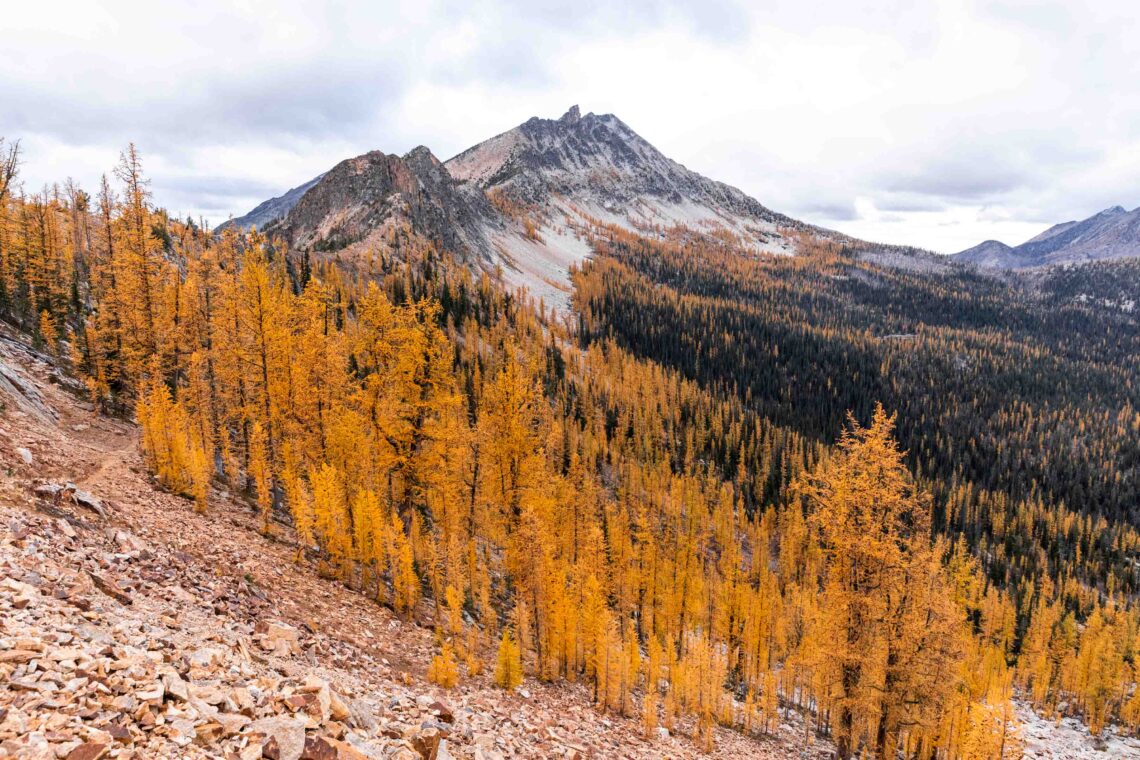
a larch guide | 20+ crowd-free washington hikes
Updated: September 18, 2025
Larches, oh larches! Early October is often known as larch madness in Washington. If you’re someone who likes to hike and who likes aesthetics and staying with the trends, you’ve probably have heard of the famous larches, trees that turn this gorgeous golden yellow in the fall. Now, maybe like me, you’ve googled where to find larches, but you see the same 5 or so hikes on the internet.
But did you know that there are more places to find larches than they say? I’m no expert, but I’ve had my share of experiences. So in this guide, we’ll go through what larches are and I’ll share generically how to find them without going to super busy locations!
Quick Links:
What are larches?
Where do larches grow?
When do larches turn yellow?
What trails should I go on to find larches?
Bonus: Sample drive times and hike chart
What are larches?
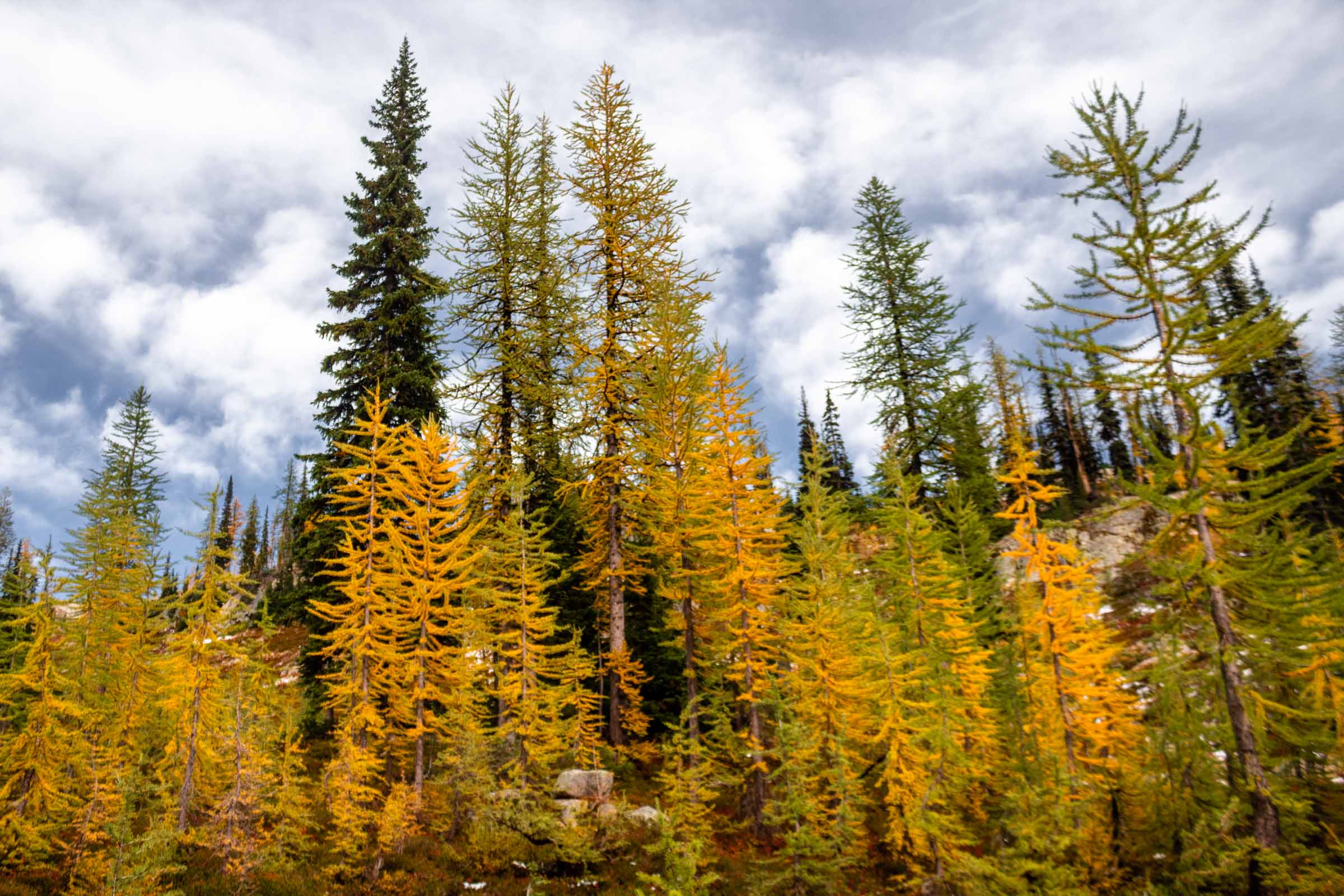
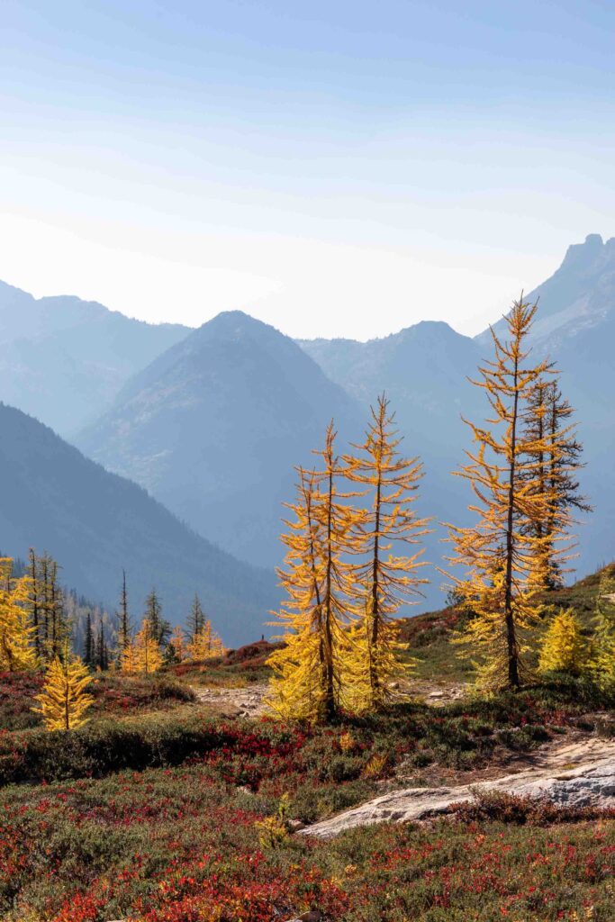
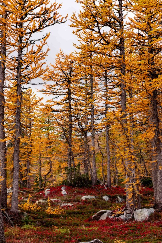
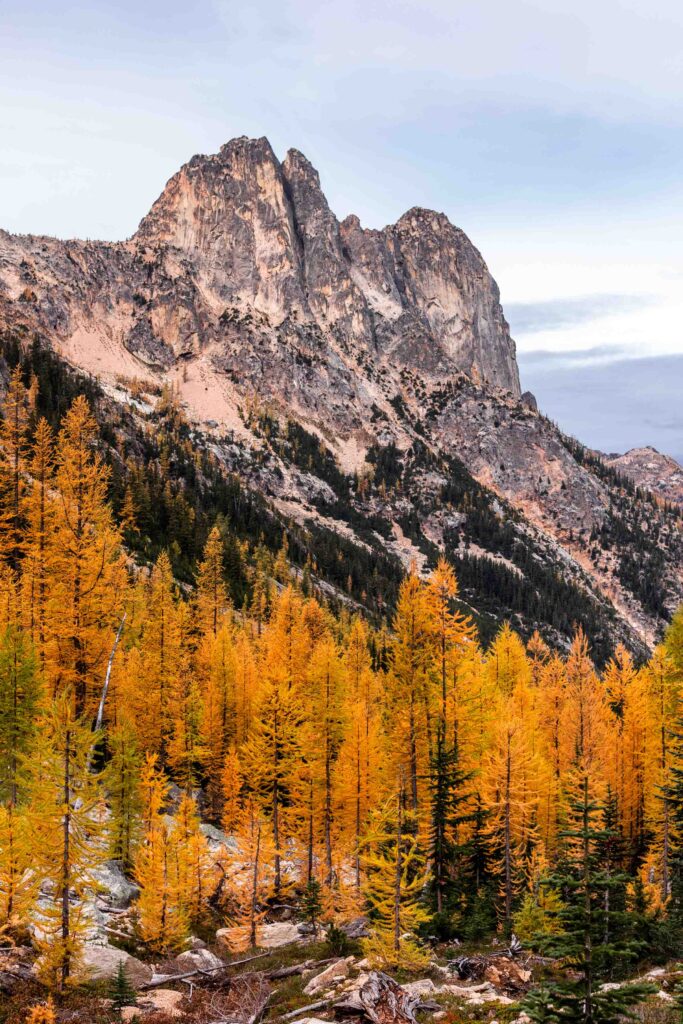
Larches are coniferous trees that are not evergreen. Weird right? But also beautiful! So if they’re not evergreen, what happens to them? Larches still have needles and cones, but they lose them every winter just like other deciduous trees. But the big craze about them is that they turn yellow before their leaves fall off, revealing a wonderful display of color in the mountains. But why do they turn yellow – don’t other trees just lose their needles when they’re green? A quick little research says that larches have developed the need to store nutrients for the winter, which doesn’t allow them to photosynthesize anymore. Aka they can’t create chlorophyll that makes the needles green. So they turn yellow!
Where do larches grow?
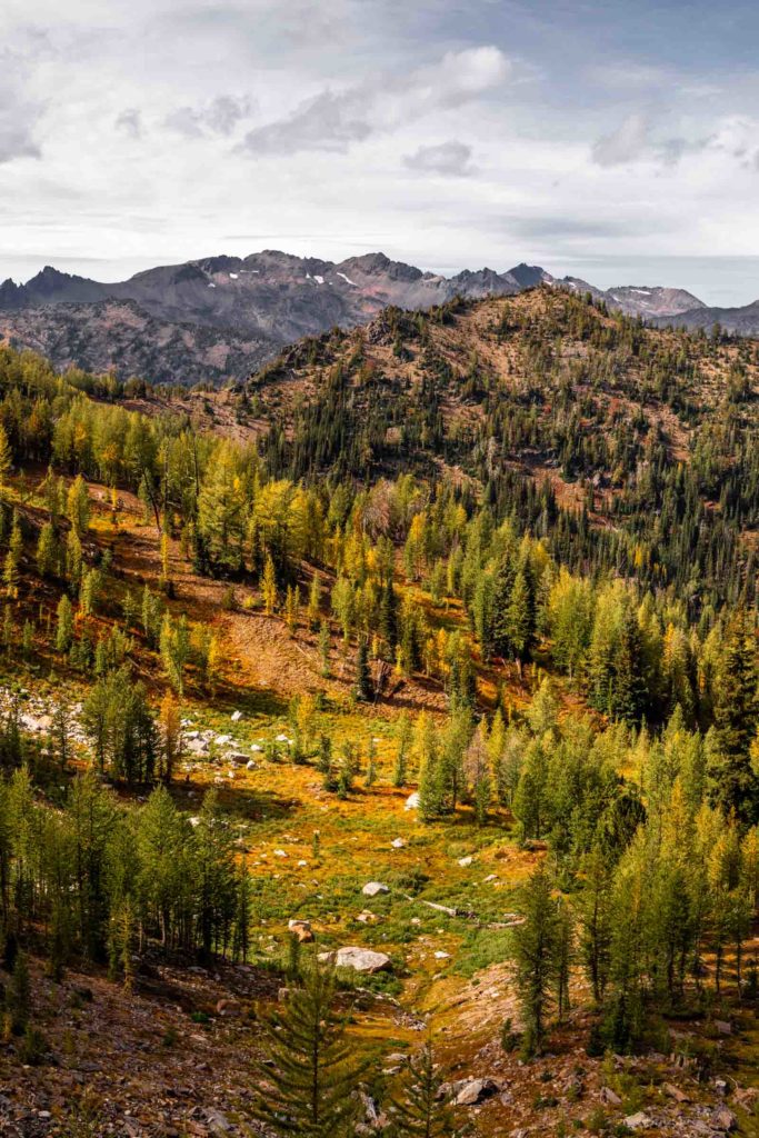
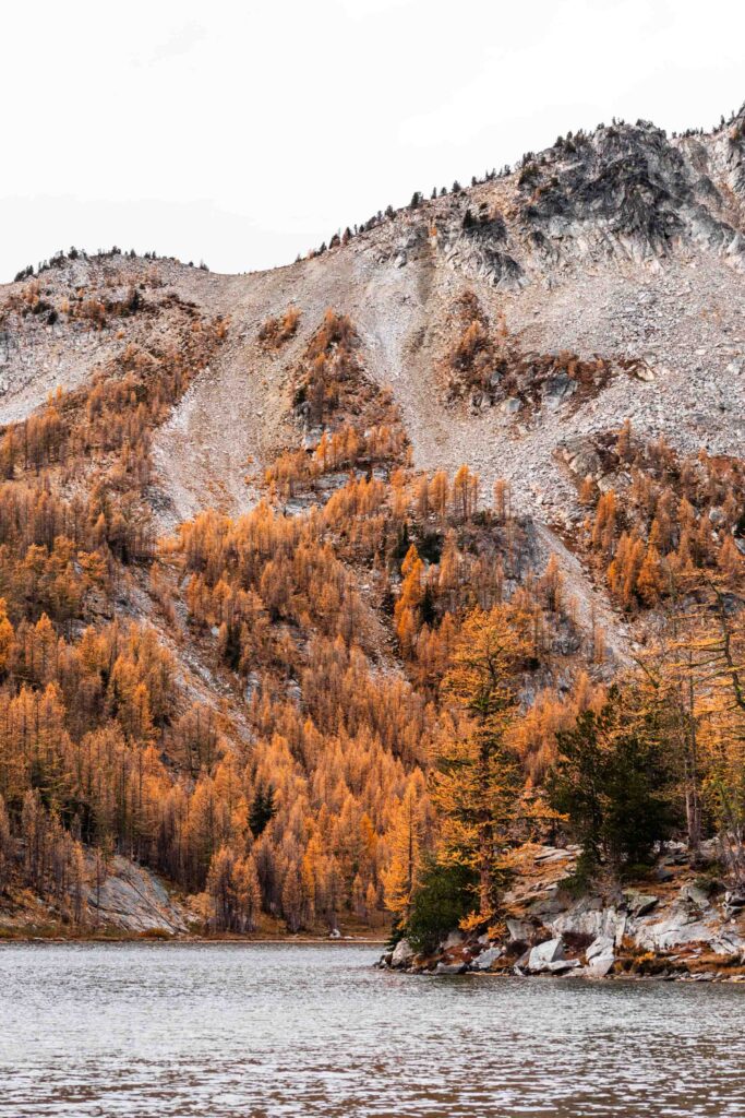
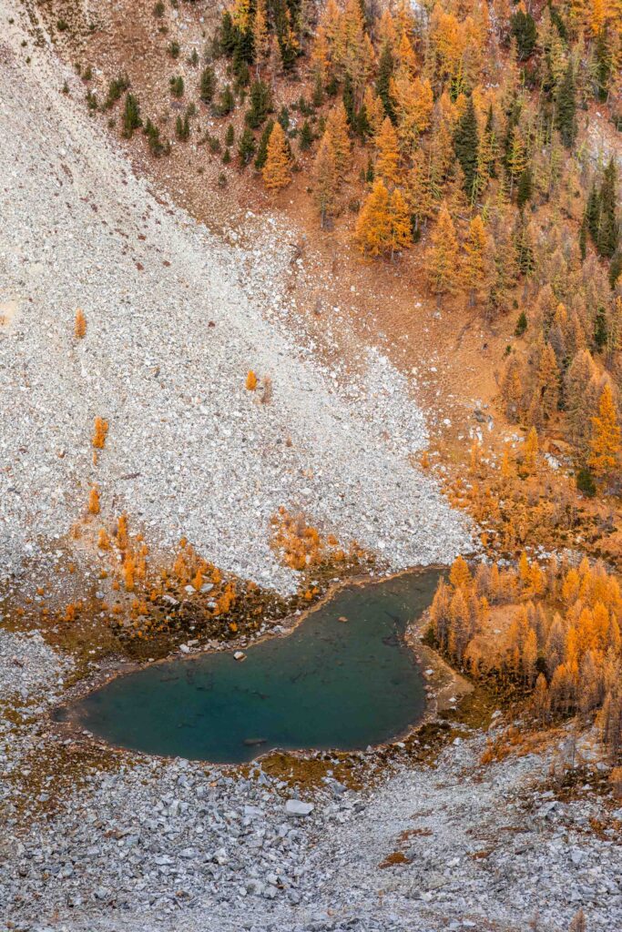
In different areas, larches might be called tamarack. And there’s several varieties of them too. You might find them on mountain slopes, on benches (flatter regions) or even lower in valleys. Generally speaking, larches are found in the upper Rockies and Cascades parts of the Pacific Northwest. In Washington, the western larch can be found between 2000 and 5500 ft in elevation in cooler but moist climates. On the other hand, the subalpine larch is found around 6000-10000 ft in elevation over rocky and shallow soils. More specifically, larches are found in the eastern side of the Cascades from central Cascades to the north Cascades. But definitely there are seemingly random pockets of larches elsewhere too, where the climate works well and the rain shadow allows for the growth of larches. And from experience, if the soil is dry and dusty and you see more pine trees than hemlock and fir, you’re probably in the right area where larches grow. And personally, I’ve seen them grow anywhere from the Cle Elum-Leavenworth side of the mountains to Mazama in the North Cascades in the Okanogan-Wenatchee National Forest, usually starting around the 6000 ft elevation mark. But do note that you can also find them in northeast Washington like the Colville National Forest and into Idaho, Montana, and even across the borders into both British Columbia and Alberta. I will just be focusing on the Cascade Range, which is most accessible to the majority of the population in Washington/for those traveling into Seattle.
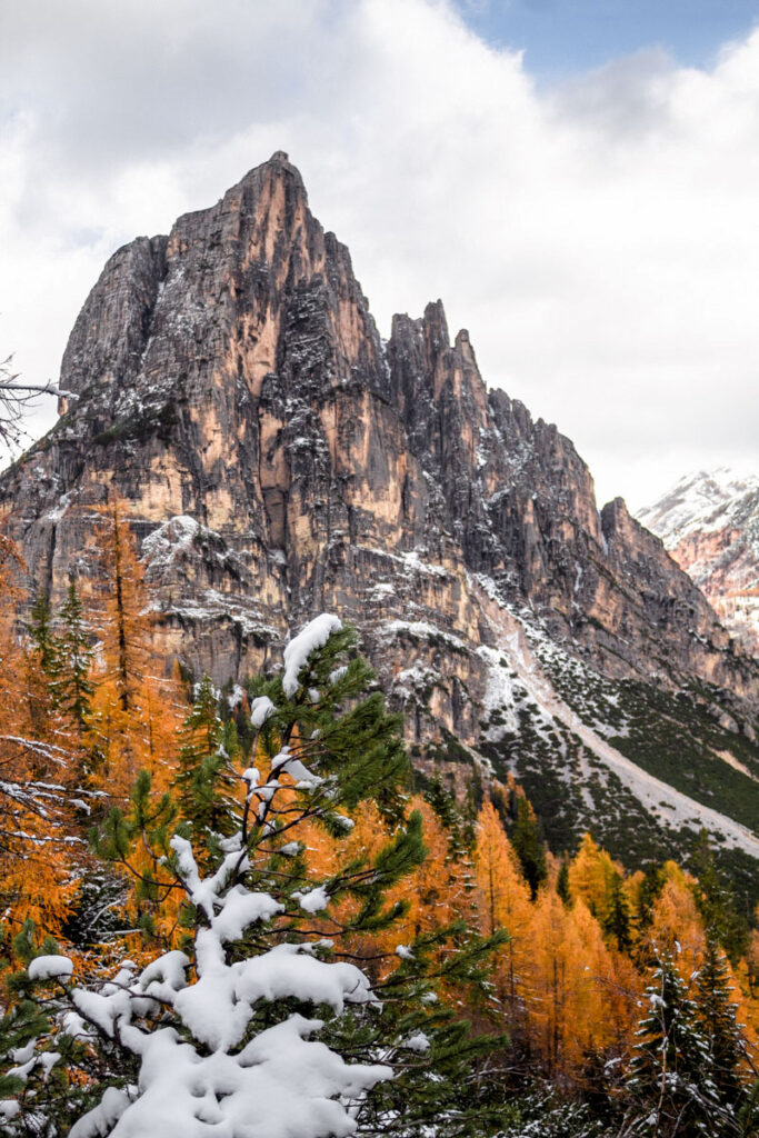
If you’re lucky, you might get a chance to see larches around the world too! They exist in the Himalayas, Siberia, Japan and the Alps (and so many pockets of places too). My favorite was seeing them in the Dolomites in Italy!
Sources: Larix occidentalis (USFS) and Larix laricina (USFS)
When do larches turn yellow?
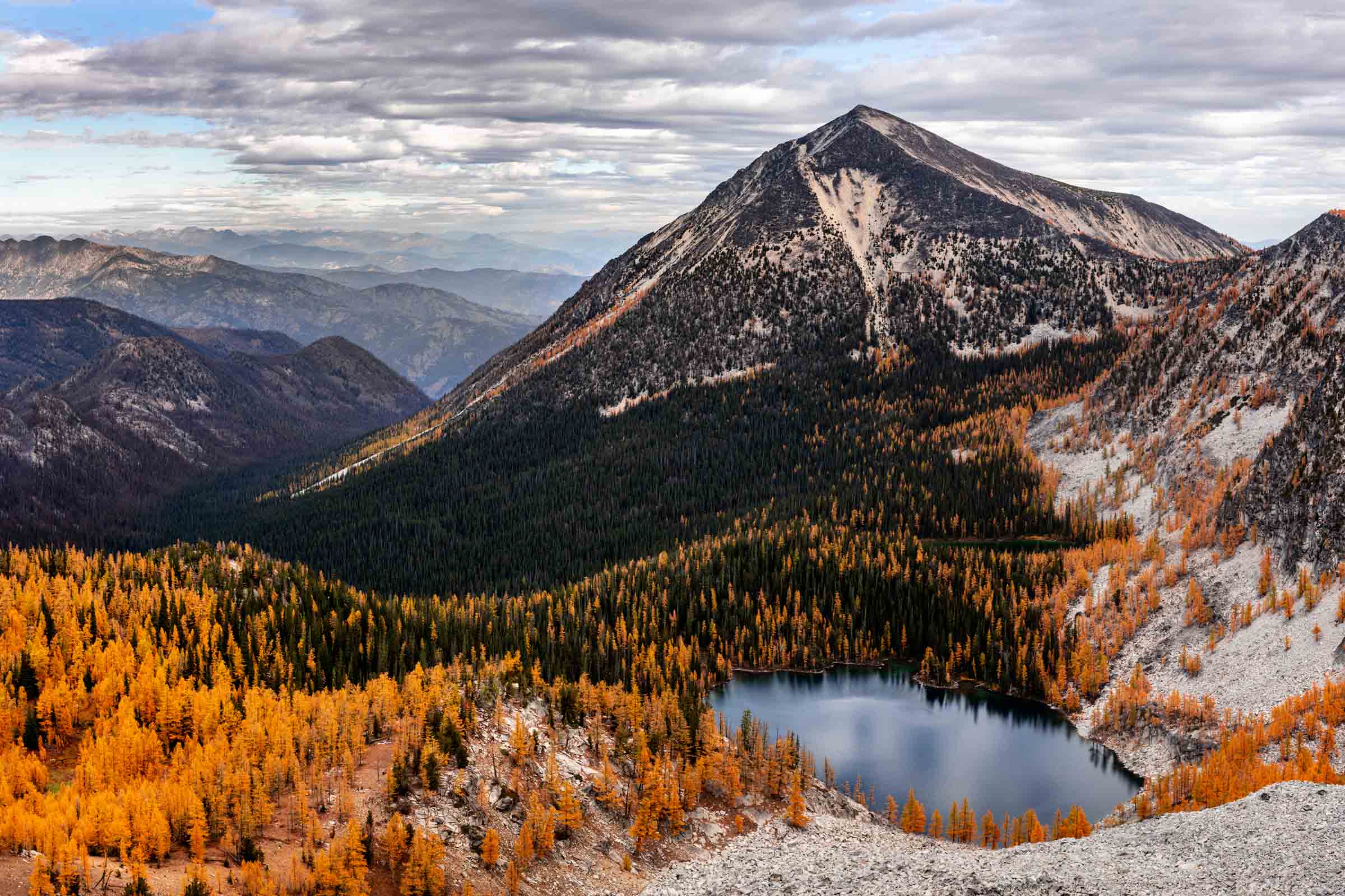
It can vary a bit year by year depending on the weather, but in general, you can start seeing them turn yellow in late September and into early-mid October. They also tend to start turning yellow the higher in elevation and further north, so in theory, you can enjoy a longer season of yellow larches by starting up north and working your way down. Or if you have a limited schedule to go out, you can decide where to go based on which area is popping the most!
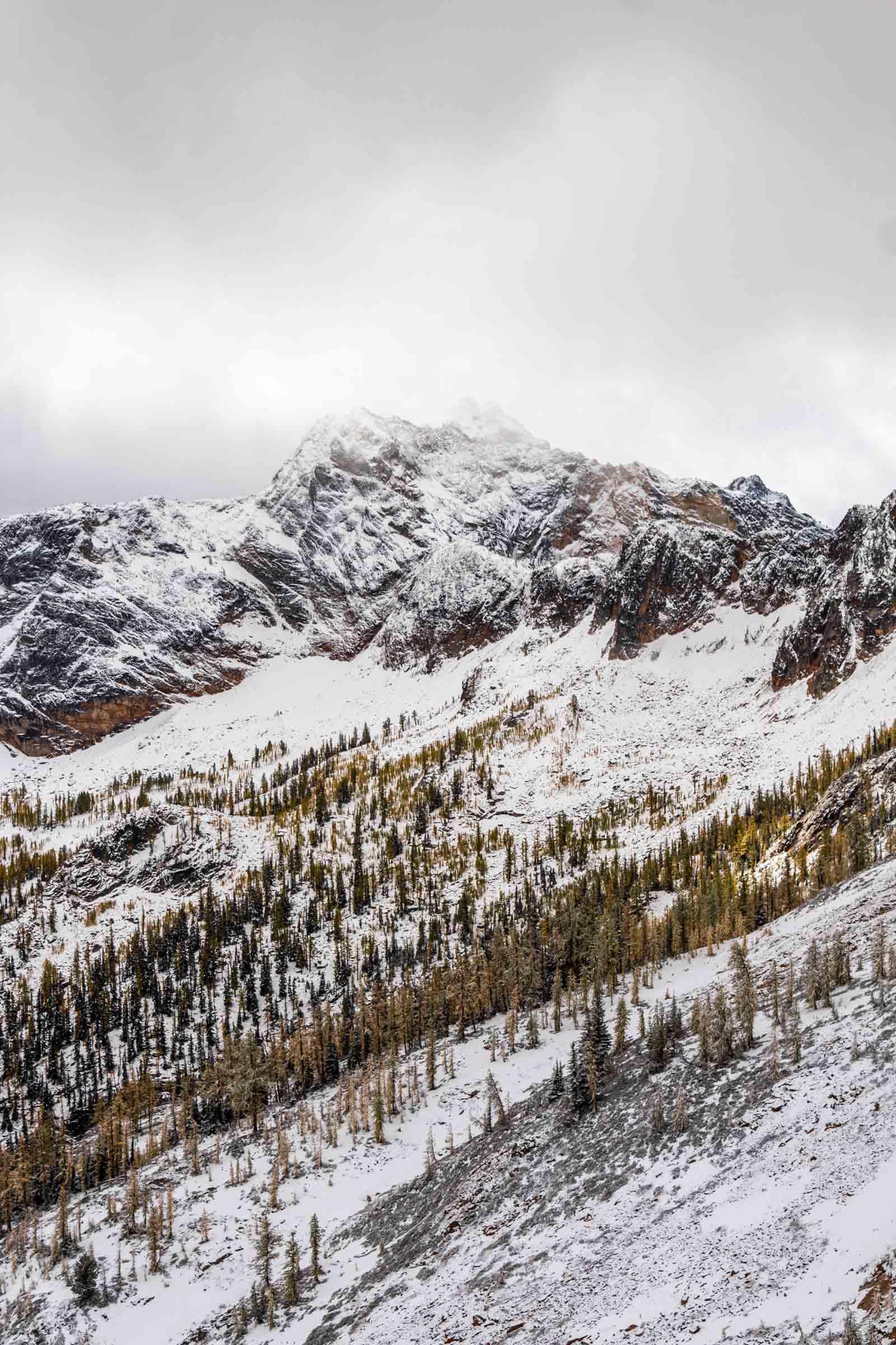
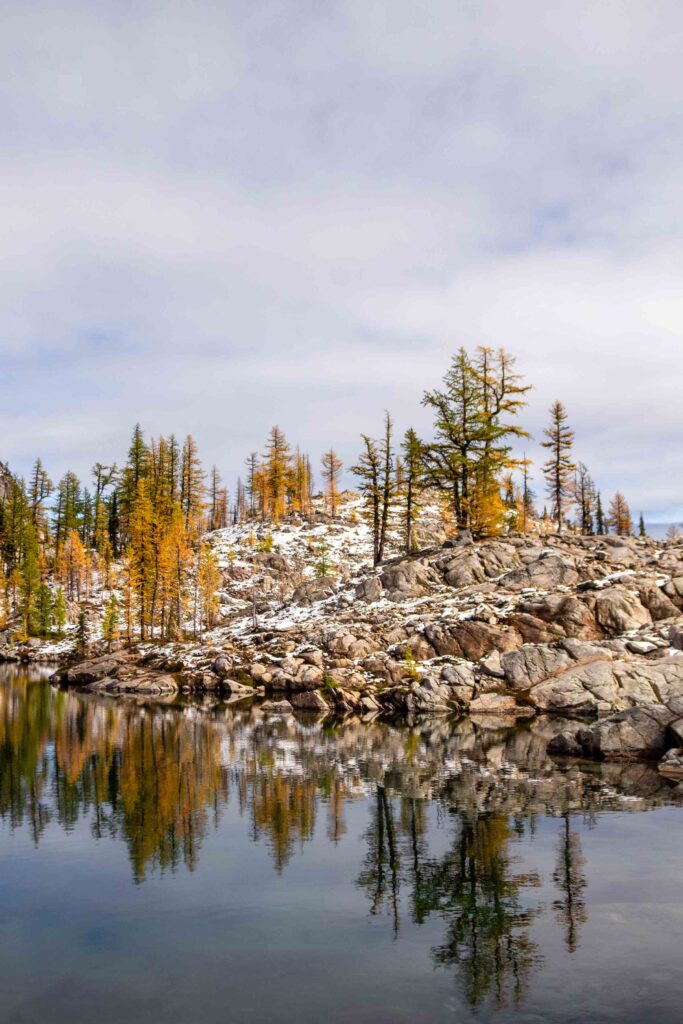
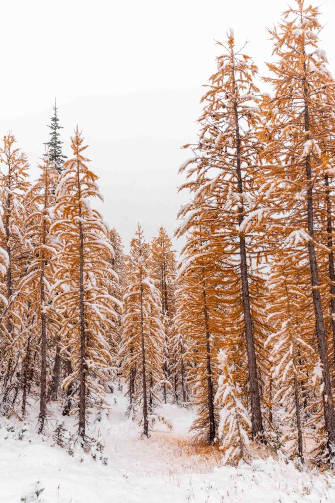
Since the general time frame for peak golden larches is early October, it can also coincide with snowfall in the Cascades. It varies year to year, and sometimes it’ll all melt after the first snowfall, but be prepared that you might be walking on a thin layer of snow and mud. Personally, I think a light dusting of snow adds to the beauty of all the fall colors.
Additionally, contrary to popular belief, larches definitely are golden for more than just 1-2 weekends. Although I suppose it’s over 1-2 weekends of more solid gold color. I really enjoy the full season from when the larches super colorful with both bright lime green and gold to the end of the season when they have turned a deeper auburn gold and the needles have fallen off, filling trail with a gold dusting.
The larch season is usually considered over when either it has snowed too much or it’s already the 3rd week of October (however the weekends might lay). So really you have almost 4 weeks of larch peeping. There’s no excuse for you not to see them!
What trails should I go on to find larches?
The big money question! Well, this guide is a guide, not just an easy answer to solve everyone’s dying question. First, let’s get the popular ones out of the way. Although I haven’t hiked all of them, I have most and can vouch for the beauty of the trails. But they are mighty crowded! You’ll be passing people every minute, especially on a good weather weekend.
The popular ones (I would not recommend for solitude)
- Heather-Maple Pass Loop
- Lake Ingalls
- Cutthroat Pass
- Blue Lake
- Enchantments
- Carne Mountain
So how do you search for more “secret” spots? One way is to sift through trip reports on sites like WTA or AllTrails for the word “larch”. Honestly you’ll probably see the same trails listed above, so you have to search with a keen eye. But let me save you some work and tell you what regions would have larches. Use this Caltopo map to see all the potential hikes and feel free to explore anything beyond these trails! I have them organized by difficult from 1 being very easy and 6 being strenuous due to length and elevation gain, generally using the scheme described here. And you’ll truly find that larches grow in so many areas around here Washington! I’ve linked some trip reports to some of those trails with pictures to see what they’re like, but note that some of the trips have extensions. Use WTA, AllTrails, Gaia, or other methods to download an offline map of the trails.
2025 note: Wildfires have been affecting a lot of larch trails. Respect and pay attention to closures. Labor Mountain Fire closes trailheads in the Teanaways including Lake Ingalls and areas off Blewett Pass. Pomas Fire closes trailheads to the Entiats/SE area of Glacier Peak, such as Phelps Creek and Little Giant Pass. Watch for smoke in the Enchantments and Chiwaukum by Leavenworth from the Labor Mountain Fire and Sugarloaf Fire (north of Leavenworth).
Consider heading to the North Cascades or Lake Chelan-Sawtooth Wilderness for your larch fix this year!
Off the beaten trail
North Cascades
Generally anything east of Easy Pass along Highway 20. The Pasayten Wilderness is great for early season larches. For example,
- From East Creek Trailhead: Mebee Pass and Lookout
- From Easy Pass Trailhead: Easy Pass
- From Rainy Pass Trailhead: Wing and Lewis Lakes
- From PCT-Cutthroat Trailhead: Snowy Lakes Pass
- From Bridge Creek Trailhead: Twisp Pass, Copper Pass, Rainbow-McAlester Loop
- From Washington Pass: Kangaroo Pass (bonus: larches next to the shoulder of the highway too!)
- Mazama and beyond: Goat Peak Lookout, Robinson Pass Loop, Freds Lake, Harts Pass, Lake Mountain
The Chelan-Sawtooth Wilderness has some of the most open terrain lined with larches. For example,
- From Twisp River Road: Slate Creek, Abernathy Peak, Star Lake and Oval Lakes
- From Gold Creek Road: Eagle Lakes, Crater Lakes, Cooney Lakes/Switchback Peak, Libby Lake
And also some surprising areas where the rain shadow creates perfect conditions for larches on the west side near Diablo. For example,
- South of Hwy 20: Ruby Mountain (mostly on the North side)
- North of Hwy 20: Crater Mountain (starting from the lake and up to the shoulders 1000 feet above)
Central Cascades
The Glacier Peak Wilderness also has lush forests of larches. For example,
- From Chiwawa River Road: Little Giant Pass, Shaefer Lake, Mt Maude
- From Entiat River Road: Larch Lakes, Fern Lake
- From Holden Village: Lyman Lakes
The Leavenworth area is quite popular due to the Enchantments, but has its gems too. Regions include Icicle Ridge, and Chiwaukum. For example,
- From Highway 2: Lake Ethel, Lake Augusta
- From Icicle Creek Road: Cape Horn
The Teanaway, east of Snoqualmie Pass has fields of larches. For example,
- From Iron Creek Trailhead Area: Iron Bear – Teanaway Ridge, Red Top Lookout
- From Esmeralda Trailhead: Gallaher Head Lake, Lake Ann, Longs Pass
- From Bean Creek Trailhead: Bills Peak, Bean Peak, Earl Peak, Teanaway Peak
- From Navaho Pass Trailhead: Navaho Peak, Three Brothers
Shortcut to see all of the trails interactively: Interactive Map of these trails
This map shows zones for where larches are known to grown. This is largely created by my own experiences and the knowledge that larches tend to grow above 6000 ft in elevation and above general forests. The Pasayten in general has lots of larches, so that zone is very rough. Places like Crater Mountain and Ruby Mountain are exceptional locations that are further west than most other larches but these are added in there from my own experiences! Hikes are listed from short and easy (1) to long and arduous (6). For example, Rattlesnake Ledge would be rated as 1, Mt Si as 3 and Mailbox as 4. For more details on how I rank them relatively, see this page. Remember if you see a longer hike, you can always backpack it.
So as you can see, there really are a plethora of options for where to find larches and have some quality time in the wilderness. Check out these hikes, and I hope you can find some on your own too. Happy trails!
Bonus: Sample drive times and hike chart
(especially if you’re looking for a short hike and short drive)
Best viewed on desktop, here’s a sample of hikes with varying drive times and length of hike. From the Seattle area, there’s a few hikes that are less than 2 hours drive! And there’s also some hikes that are really just a drive-to to make it more accessible (hint: Harts Pass, Washington Pass, Blewett Pass). As you can see, you can generally tell what the drive time is for each region, Leavenworth and Teanaway generally being the closest and further into the mountains in the eastern Glacier Peak Wilderness or Chelan Sawtooth Wilderness, and even the Pasayten Wilderness will typically have drive times greater than 4 hours.
| Larch Hike | Distance | Gain | Seattle | Everett | Tacoma | Short Drive | Short Hike | Dog OK | Region |
|---|---|---|---|---|---|---|---|---|---|
| Lake Ethel (via Gill Creek) | 9.5 mi | 3500ft | 1h 40m | 1h 25m | 2h 10m | x | x | Leavenworth | |
| Lake Grace (via White Pine Creek) | 18 mi | 3800ft | 1h 50m | 1h 40m | 2h 20m | x | x | Leavenworth | |
| Lake Edna (via Chatter Creek) | 12 mi | 4500ft | 2h 20m | 2h 10m | 2h 40m | x | Leavenworth | ||
| Lake Augusta (via Hatchery Creek) | 15 mi | 4750ft | 2h | 1h 50m | 2h 30m | x | x | Leavenworth | |
| Colchuck Lake | 8 mi | 2280ft | 2h 30m | 2h 10m | 2h 50m | Leavenworth | |||
| Red Top Lookout | 1.5 mi | 350ft | 1h 50m | 2h 10m | 2h 10m | x | x | x | Teanaway |
| Iron Bear – Teanaway Ridge | 6.5 mi | 1900ft | 1h 40m | 2h | 1h 50m | x | x | x | Teanaway |
| Bean Peak | 6 mi | 3000ft | 1h 50m | 2h 10m | 2h 10m | x | x | Teanaway | |
| Lake Ingalls | 9 mi | 2500ft | 2h 10m | 2h 30m | 2h 20m | x | Teanaway | ||
| Lake Ann (via Esmeralda) | 8 mi | 2200ft | 2h 10m | 2h 30m | 2h 20m | x | x | x | Teanaway |
| Shaefer Lake | 9 mi | 3200ft | 2h 10m | 2h | 2h 40m | x | x | Glacier Peak | |
| Mt Maude | 14 mi | 5400ft | 3h | 2h 40m | 3h 20m | x | Glacier Peak | ||
| Larch Lakes (via Entiat River) | 16 mi | 2600ft | 4h | 3h 50m | 4h 10m | x | Glacier Peak | ||
| Fern Lake (via N Fork Entiat) | 16 mi | 3600ft | 4h | 3h 50m | 4h 10m | x | Glacier Peak | ||
| Ruby Mountain (via Thunder Creek) | 17 mi | 6300ft | 2h 20m | 2h | 2h 50m | x | x | North Cascades | |
| Easy Pass | 7 mi | 2800ft | 2h 40m | 2h 30m | 3h 10m | x | North Cascades | ||
| Wing Lake | 9 mi | 3600ft | 2h 50m | 2h 40m | 3h 20m | x | North Cascades | ||
| Copper Pass (via Copper Creek) | 10 mi | 2700ft | 2h 50m | 2h 40m | 3h 20m | x | North Cascades | ||
| Blue Lake | 4 mi | 1050ft | 3h | 2h 50m | 3h 30m | x | x | North Cascades | |
| Goat Peak Lookout | 4 mi | 1400ft | 4h | 3h 50m | 4h 30m | x | x | Pasayten | |
| Slate Peak | 1 mi | 250ft | 4h | 3h 50m | 4h 30m | x | x | Pasayten | |
| Crater Lakes | 9 mi | 2200ft | 3h 50m | 3h 40m | 4h | x | x | Chelan Sawtooth | |
| Twisp Pass | 9 mi | 2500ft | 4h 30m | 4h 10m | 4h 40m | Chelan Sawtooth |
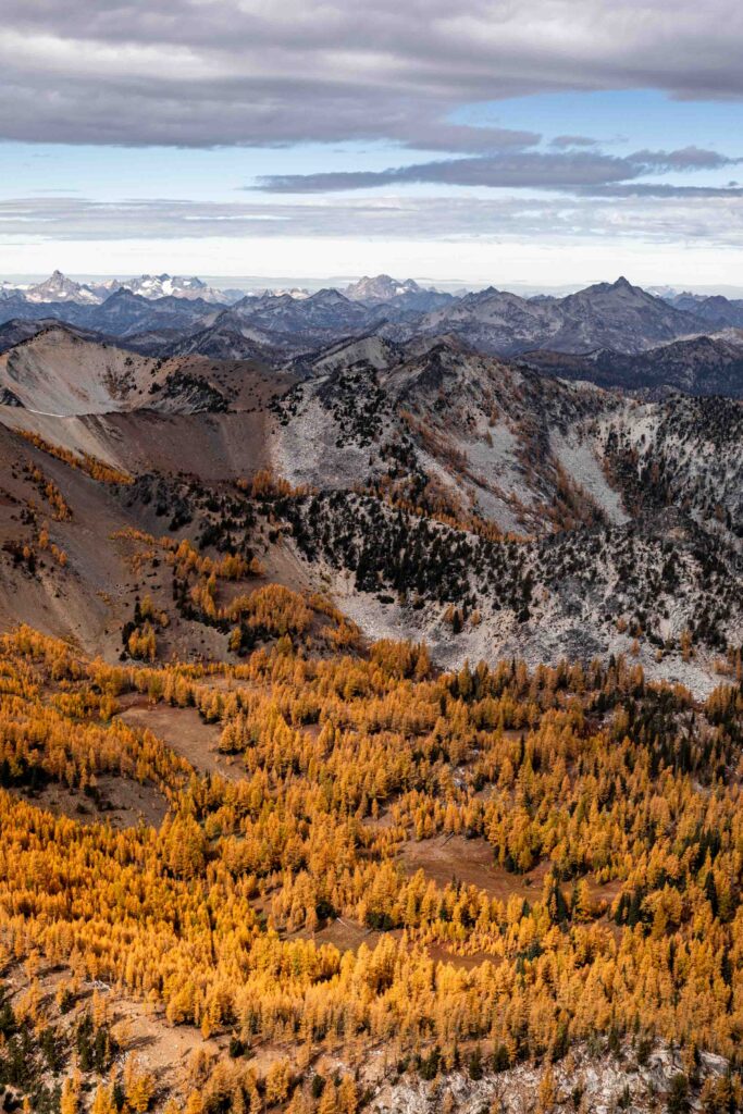
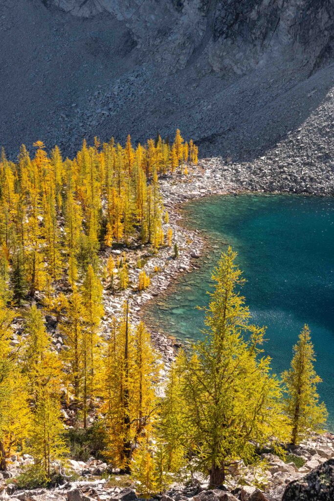
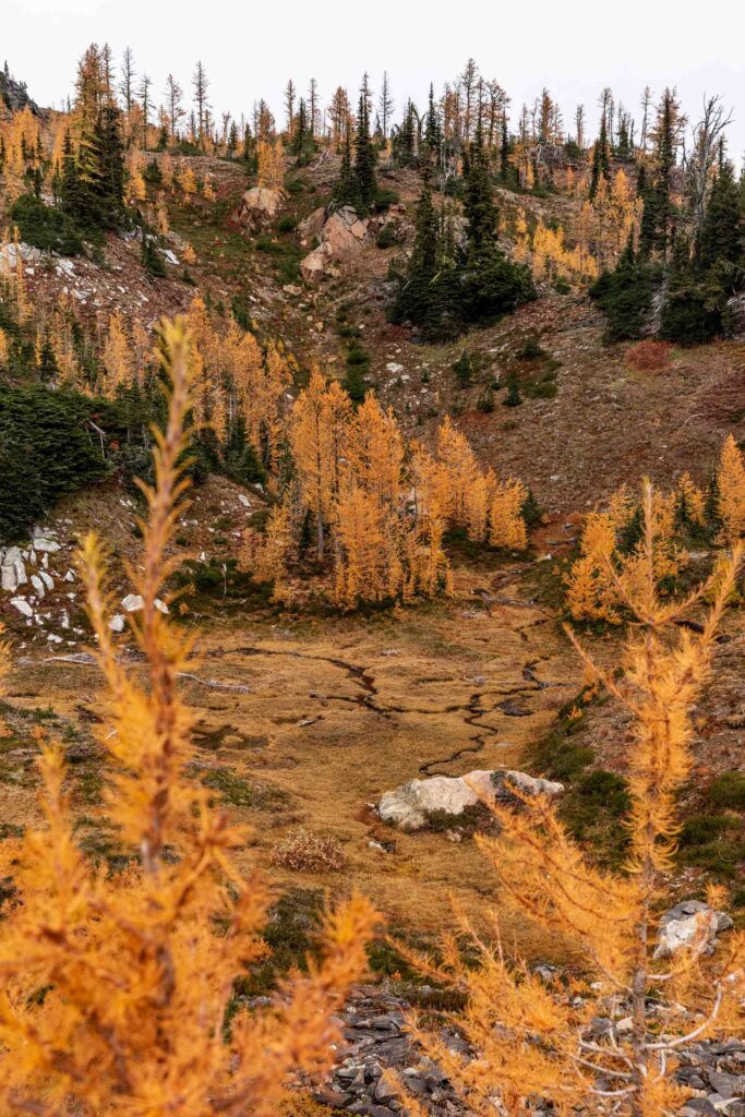
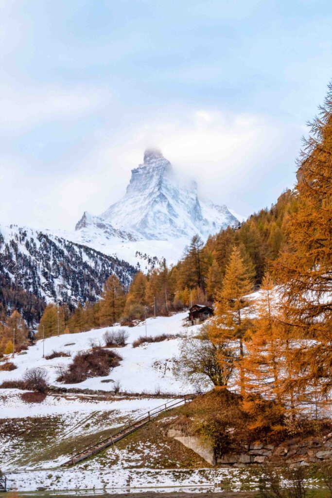
All pictures are mine, taken on Canon DSLR of various setups.

5 Comments
irina
thank you for this guide!! your adventure from last week also looks incredible :O i’m definitely not in good in of shape to do it since i’m intimidated by anything with more than 5k vertical. I’ve done all the main larch hikes – colchuck, maple pass, ingalls, carne, cutthroat, echantments – and starting to look for new ones for this year (: do you have any favorites from your recommendations?
cherlyn
Hi Irina, haha yeah it can be fairly quick to finish the main 5-ish hikes. I would highly suggest going out to the Chelan Sawtooth area. Star Lake is amazing but maybe something shorter would be Eagle Lakes. Or if you go to the North Cascades, an out-and-back of Copper Pass could be good! There’s more reds out that way. Though honestly any of the ones I listed in the map (maybe the 3-4 range seems to fit your bill) are pretty great! Enjoy 🙂
Irina
Thank you for the quick response! I’m so excited to have your blog as a guide for my outdoor adventures as I look for more remote options and have worked my way through my bucketlist.
I think I’m going to give Star a shot – start and end at Buttermilk?
I thought about Twisp pass too – so maybe I’ll do that or Copper Pass the following weekend. Hope you enjoy larch hunting season!!
cherlyn
Thanks! Glad to hear that! Buttermilk is a good trailhead to start at. Hopefully we keep on having some good weather 🙂
Pingback: